We had the sunshine this weekend but not the warmth and now we're going to flip that around. Expect some peeks of sunshine here and there the next three days, mainly in the morning Monday and Wednesday and early afternoon Tuesday, but expect plenty of cloud cover as well. Each day has a chance for rain mainly in the evening. A few light showers are expected Monday evening with an isolated shot at a thunderstorm.

None of the rain looks too heavy but if any thunderstorms develop rain totals would go up. Right now it looks like most spots would see less than 0.75" of rain.

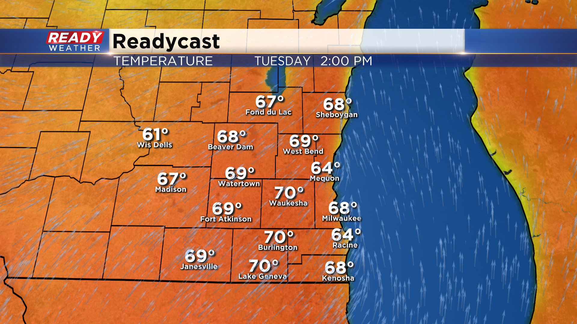
The nice mild temperatures will be the big story with middle 50s expected Monday. Tuesday is looking like it could be the warmest day of the year with upper 60s to around 70* possible.
Wednesday isn't quite as hot but still warm with highs around 60 then a strong cold front moves through and we cool down in a big way for the end of the week with highs only in the upper 40s.

The chill will last through Easter weekend and beyond. The Climate Prediction Center gives most of the Upper Midwest, including Wisconsin, an 80% chance for below average temps through April 19th. Once the 40s arrive to end this week it looks like they will stick around.

Download the CBS 58 Ready Weather app to track the rain the next couple days and see how cold it gets next week.
