Sunday 1 PM Update: Ice Storm Warning issued for northern counties
This is an outdated forecast. To see the latest Ready Weather Blog, click here.
Updated: 1:00 p.m. February 18, 2018
The winter storm watch for Dodge, Fond du Lac and Sheboygan Counties has been upgraded to an ice storm warning which goes into effect at 3 p.m. Monday and lasts until 6 p.m. Tuesday. In addition, a winter weather advisory has been issued for Washington County for some light accumulation there.
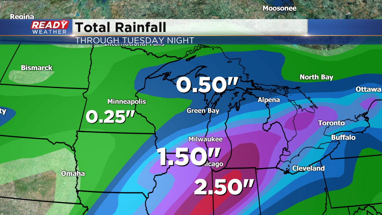
For southern counties, heavy rain and thunderstorms will be the big issue. An areal flood watch has been issued for all of our southern counties where over 2" is possible.
------
Updated: 9:00 a.m. February 18, 2018
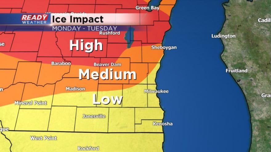
A winter storm watch has been posted for Dodge, Fond du Lac and Sheboygan Counties from Monday afternoon through Tuesday evening. This watch will likely get upgraded to a winter storm warning later on Sunday or early Monday.
Over a quarter inch of ice is possible in these locations north of a warm front. For spots south of the warm front heavy rain with thunderstorms that could lead to flooding is possible.
Keep checking back for the latest forecast on what could be the winter storm with the biggest local impacts.
------
Posted: 8:34 p.m. February 17, 2018
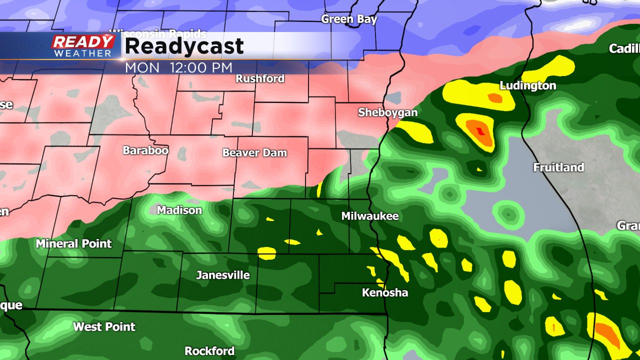
We get a dry Sunday after a little bit of snow on Saturday, but a very messy storm is waiting in the wings. A slow moving storm system starts to move in Monday morning. The heart of the morning commute looks dry but by mid-morning steady rain moves in to southern spots that could mix with some sleet or freezing rain in northern areas.
Even more freezing rain is likely to fall by Monday evening through the night, especially in areas north of I-94. A few tenths of an inch of ice is possible in these spots, especially parts of Dodge and Fond du Lac counties. A winter weather advisory or even winter storm warning could be issued for these northern counties dealing with the bulk of the ice. Everyone else could see a glaze of ice that may impact both the Tuesday and even Wednesday morning commutes.
Heavy rain is another big story, especially south. While northern spots are dealing with freezing rain Monday night, a few thunderstorms aren't out of the question for far southeast Wisconsin. Heavy rain up to and possibly above 2" may be possible across the area. With a frozen ground and still some snow to melt, stream/river flooding and even flash flooding may be possible.
The track of the storm will be very important. If it tracks farther south, more of southeast Wisconsin will miss out on the heavy rain but could see more freezing rain. If it tracks farther north we see more heavy rain but less freezing rain.
Download the CBS 58 Ready Weather app to stay up to date on this latest forecast. Icing events are never fun and this could have the worst impacts of any storm we've seen this season.
