Big Weather Changes Coming, Are You Prepared?
This could be the last day for a long time to enjoy spring-like weather in Southern Wisconsin. We have a shallow layer of Low clouds and fog this morning, but we also have a steady southwest wind with temperatures starting out in the low 60s. To put this into perspective, our normal low temperature today is 37°.
As the low clouds thin through the morning just a little sun is all that's needed to help temps soar into the upper 60s and low 70s once again. The latest we've ever recorded a 70° temp in Milwaukee is November 21st back in 1913. The earliest date on record for a temp of at least 70° is March 7th... so if we're going to see the thermometer hit 70° over the next 100+ days it'll be a record setting performance from Mother Nature.
Indeed, this extended stretch of unseasonably warm weather comes to an abrupt end tonight as a strong cold front comes crashing through around midnight - dropping temps to more November-like numbers by Friday morning.
This will be quite a shock as we go from the 70s today to the 40s and wind chills in the 30s most of tomorrow. Here's a look at some high temps forecast for this afternoon. Compare this to the image just below it showing low temps tomorrow morning and you'll have a better understanding of the drastic change on the way.


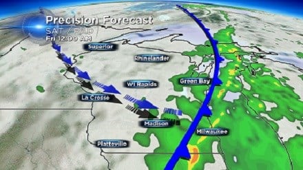
Thunderstorms are still expected along this transition from warm to cold and conditions are still favorable for isolated strong/damaging wind gusts and possibly quarter sized hail. Stay tuned to CBS58 on air and online for further updates throughout the day.
