Warming up to end the work week before a snow chance on Saturday


Most of this week has been cool with highs in the 20s and 30s but we see temperatures get back to average, if not a bit warmer than average, on Thursday with highs in the upper 30s to around 40. Friday will be even warmer with highs reaching into the 50s! then temperatures will cool down for the upcoming weekend and start to next week.

The 50s on Friday will be well above-average, but still far away from records. The record high for Friday is 20 degrees warmer than the forecast in the 70s. That record was set only two years ago when we hit 74 degrees in 2024 which was the warmest February temp on record.

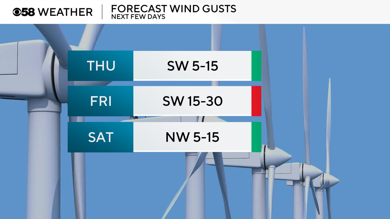
The wind will stay out of the southwest Thursday and Friday to bring in all of that warmth. Most of Thursday should see a fairly light wind but then the breeze kicks back in for Friday. A wind shift to the NW on Saturday will start to bring in the cooler weekend air.
Thursday only has a 10% chance for some sprinkles or flurries associated with a clipper up to our north. Friday looks all dry but Saturday is borderline likely for some accumulating snow. The exact track of the storm is still TBD but at least a dusting of snow can be expected for most areas and a couple inches of snow will be possible for some. Snow looks to start during the mid-morning hours of Saturday and continue into the afternoon and evening.

Download the CBS 58 Weather app to track the warm up for Friday and snow on Saturday.