


Most of the storms this afternoon have been confined across north central Wisconsin. Other than an isolated shower or storm most of our area should remain quiet through the early evening.
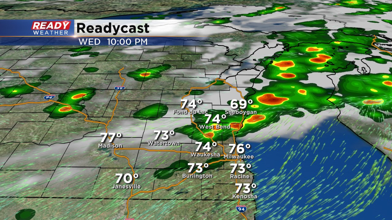
As a cold front moves south, a line of showers and storms should develop between 8 pm and 1 am. Storms that fire could produce small hail and gusty winds; however, the overall severe risk should be low.
______________________________________________________________________________________________________________
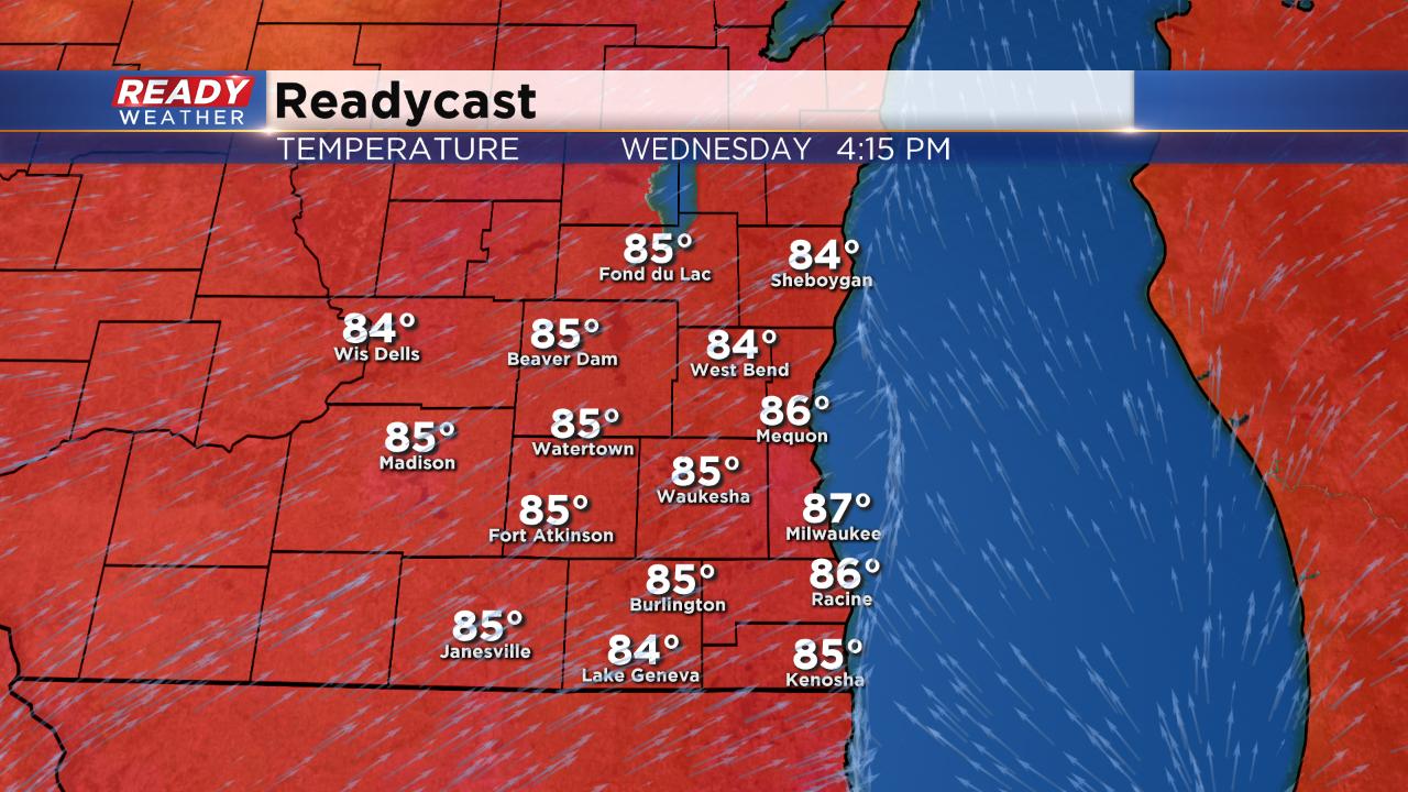
After the 90° day on Monday we dropped ten degrees to 80° Tuesday. Wednesday is back to the warmth with highs in the middle to upper 80s.
That warmth combined with an approaching cold front from the north will bring in another chance for storms. Timing is a little uncertain depending on what weather model you look at. In general be aware of the weather from 3 p.m. to 3 a.m. but the best chance for storms looks to be after 7 p.m. for most of southeast Wisconsin.

Overall the severe weather ingredients are better in in central and northern Wisconsin and that's where a slight risk for severe weather is in place. Locally, parts of Fond du Lac and Dodge County are in the slight risk but the majority of our area is under the marginal risk.
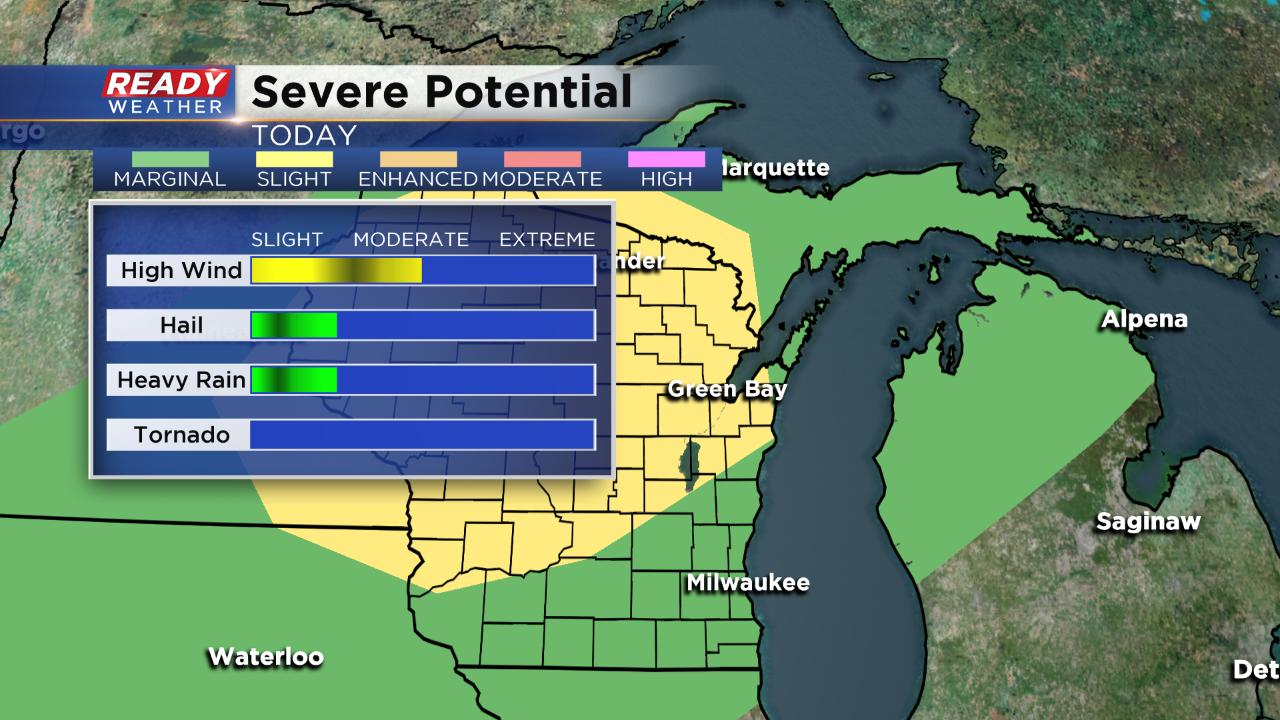
Damaging wind will be the main threat with a chance for some small hail and heavy downpours.
Download the CBS 58 Ready Weather app to track the storms and get alerts for watches and warnings.