More spring-like temps with rain/storms this week
If you’re keeping track at home, Wisconsin is hanging on to one of the coldest Aprils in a while. The average temp through yesterday was only 30.4 degrees, 11 degrees below normal. This puts the 7th coldest April on rank for the Milwaukee area.
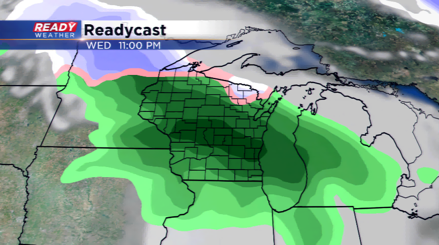
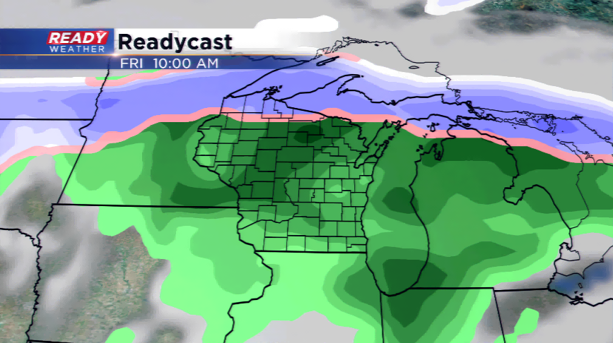
Once the light snow action ends this morning, we turn our attention to later this week with a few disturbances that will not only bring warmer air into the region, but rain and storms.
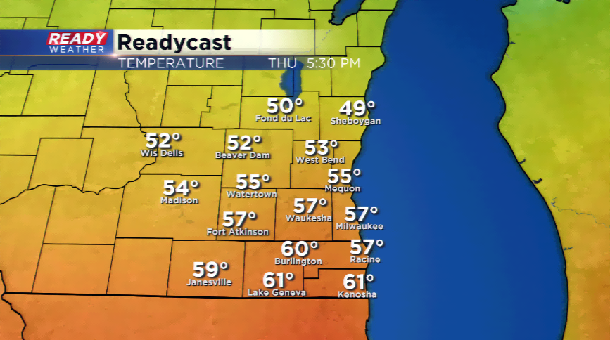
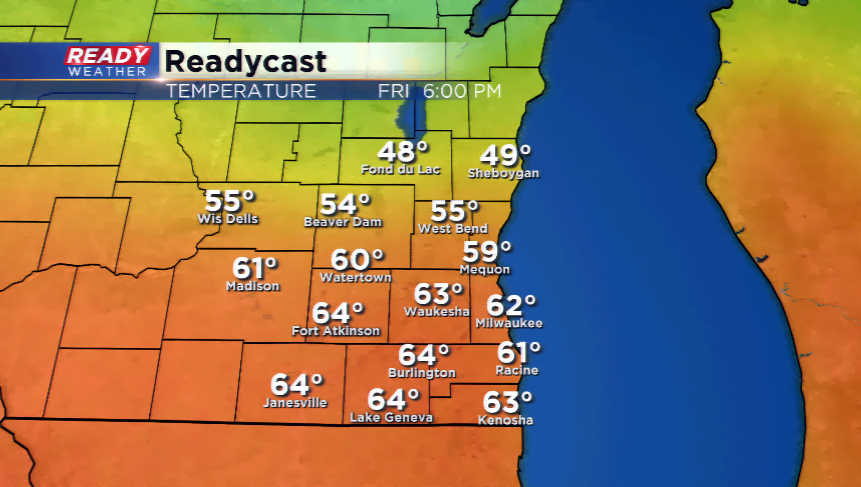
Warm air will surge in from the south and highs will jump into the 50s by Wednesday and Thursday, with some spots into the 60s. There’s still a lot of uncertainty with what happens in terms of the temperatures (how warm or if the lake breeze will win out) and if the warm air could produce a strong storm or two. At this point it doesn’t look like strong storms are expected with the better dynamics outside of Wisconsin; it is still something to keep an eye on.
The bottom line is spring looks to show its head…finally!
