Minor snow chance this afternoon while heavy snow remains well to the south
Parts of far southeast Wisconsin woke up to a dusting of snow this morning, but the cold front has pushed far enough south to give us a break in the precipitation.
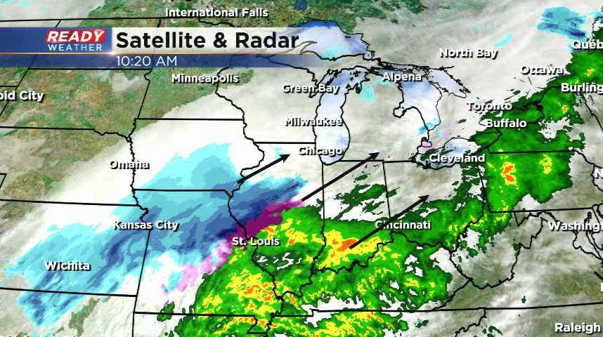
While the main low pressure system and heavy rain/snow stay well to our south, parts of far southern Wisconsin may get clipped by a bit of light snow this afternoon.
Snow will have to fight through the dry air that moved in behind the cold front, but a dusting to half inch or so of accumulation will be possible south of I-94. This could make roads a bit slippery during the afternoon commute.
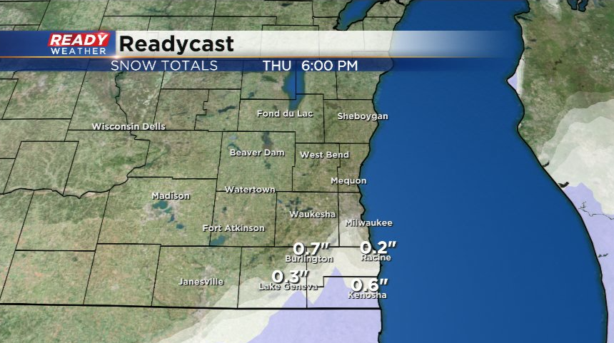
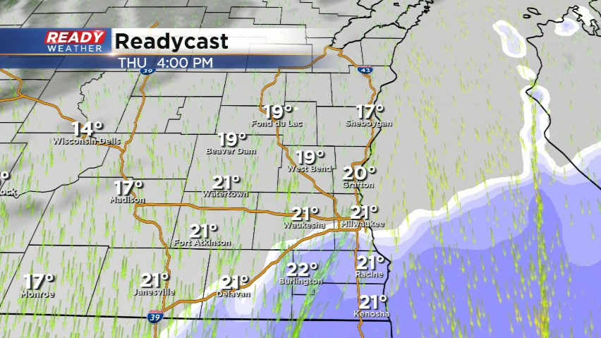
Any snow that makes it into the area will exit by 8pm with dry and windy conditions setting up for most of Friday. However, a fast moving clipper system will drag a cold front through in the evening, triggering a quick moving band of snow which could drop another dusting across the area.
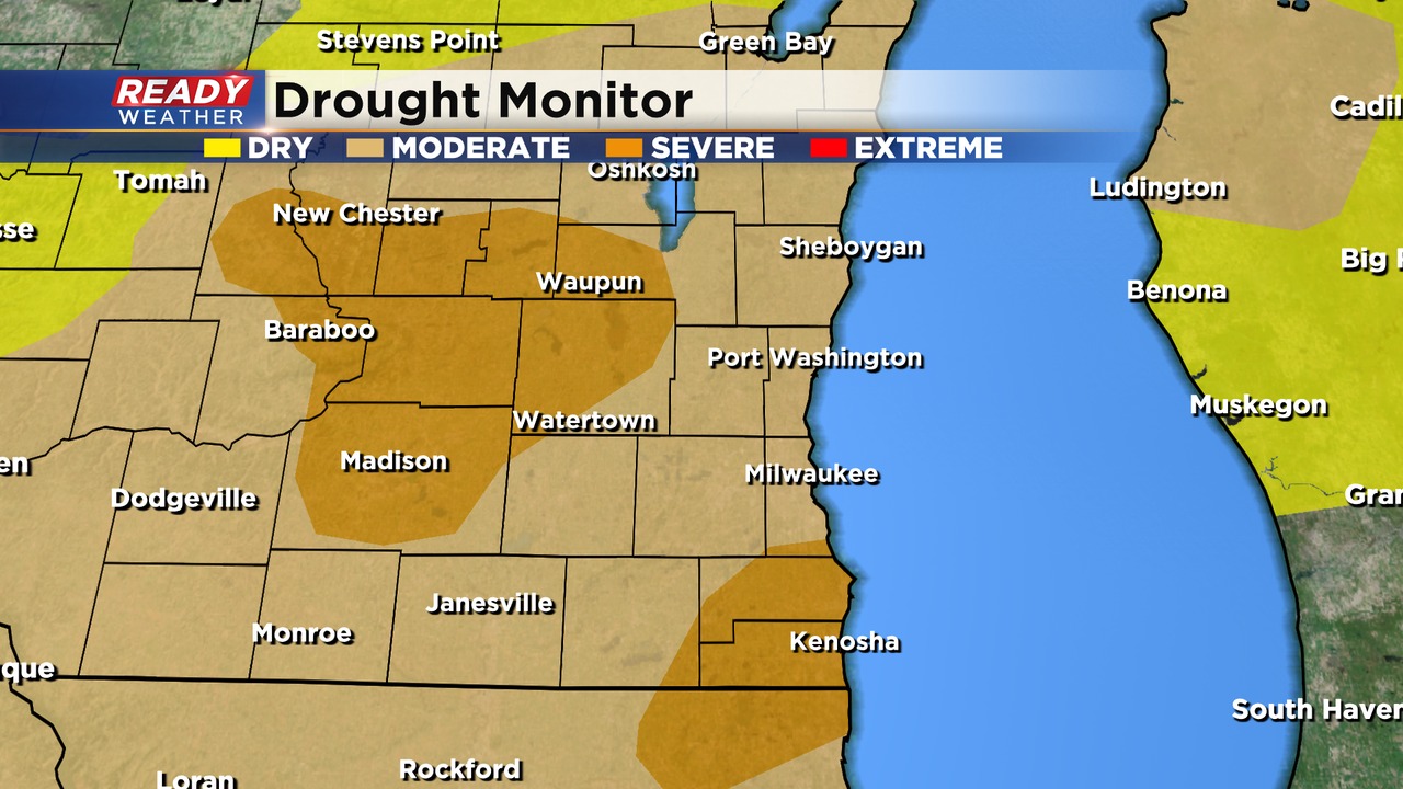
At this point, we need any precipitation we can get. The latest drought monitor shows severe drought has expanded across Dodge and Fond du Lac counties. All of southeast Wisconsin is either in a moderate or severe drought.
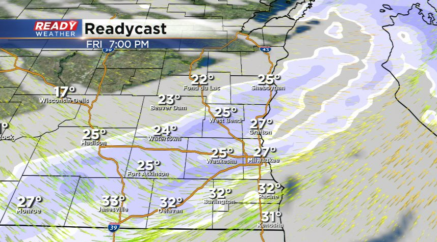
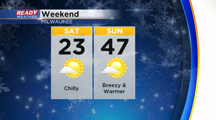
No precipitation in the forecast for this weekend, but temps will feel like winter on Saturday before returning to more spring-like levels on Sunday.
Download the CBS 58 Ready Weather App to track the minor snow chances.
