Thursday morning: messy commute for our northern areas
Posted: Nov 8, 2017 3:37 AM CDT
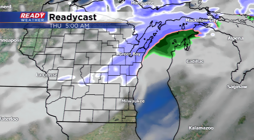
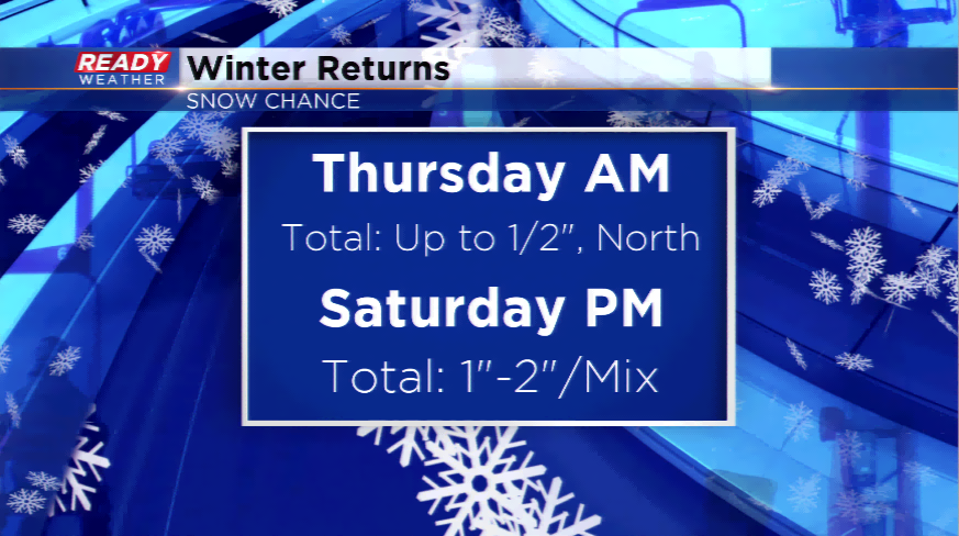
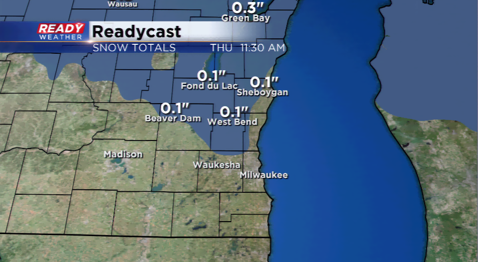
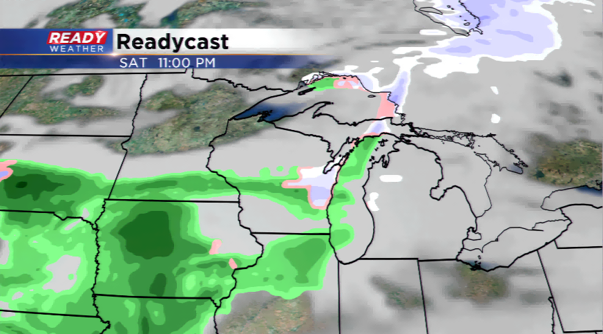
A disturbance and strong cold front will slam into the area late tonight and tomorrow morning pulling in enough moisture to generate a dusting to 0.5” of snowfall.
Once the cold front moves through, the winds turn and the temperatures will drop. Highs will likely only reach into the mid-30s, the coldest air of the season. Wind chills will fall into the teens and single digits by the evening tomorrow setting up the coldest night during this span. Overnight lows will plunge into the teens, and the northern part of the state could see single digits.
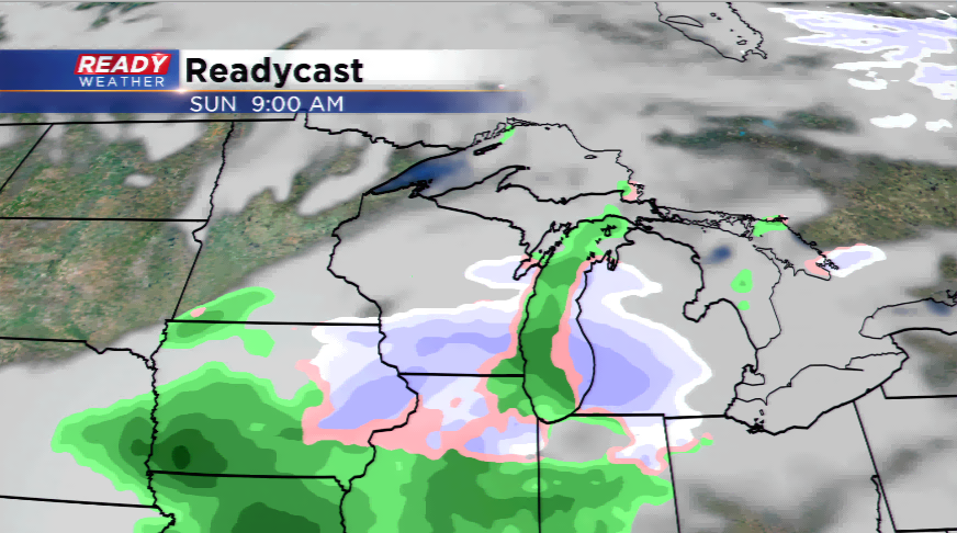
A tricky forecast is expected for this weeke