Temperature changes this coming week bound to give you weather whiplash


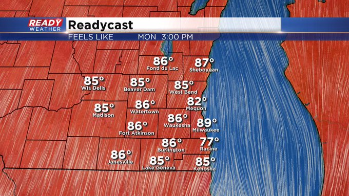
Milwaukee (CBS58)--Just when we're settling into the fall season, it seems Mother Nature has other ideas for us. Most of Saturday we hovered around 60. Sunday will be in the low to mid 60s. Then a major warm front lifts north of us for Monday and Tuesday, giving us highs in the low to mid 80s. Some spots will feel like 90 degrees with the humidity, believe it or not! Then behind the front, we drop back into the 50s for highs by the end of the week.
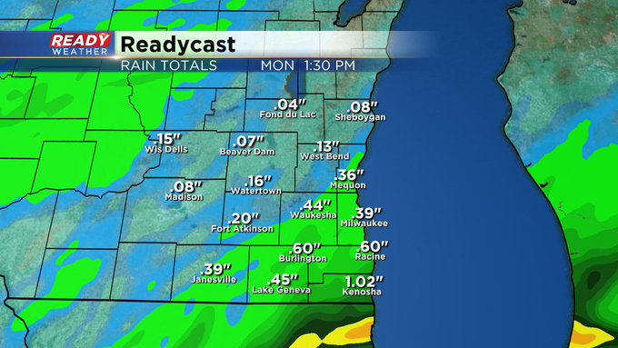
Weatherwise, look for on/off showers and possible thunder as a warm front starts lifting our way from the south. The chance for storms will go up into Tuesday as a cold front slowly moves in from the west. Then showers have a hard time departing behind this system Wednesday into Thursday. From the first weather system, we could see more than a half inch of precip. In all, several inches of rain could collect this coming week.
To keep up with all the weather changes, make sure you've downloaded the free CBS58 weather app. Keep in mind we've updated it on our end so make sure to do the same on your end.