


After a beautiful day in southeast Wisconsin with tons of sunshine and highs reaching the upper 70s lakeside and 80s everywhere else, we are watching the chance for storms to end the day.

The better chance for storms will be in northern Wisconsin where they are under a Level 2 Slight Risk for severe weather and a Severe Thunderstorm Watch has been issued until 10 PM Saturday night.

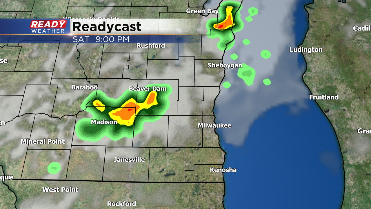
Locally in southeast Wisconsin the chance for showers and storms is a bit more uncertain. If storms do hold together they would arrive after 8 PM and exit southeast Wisconsin by 1 AM. Not everyone will see the rain but for those that do get a storm there is a possibility one or two are strong to severe.
Download the CBS 58 Ready Weather to track the storms Saturday evening. And look ahead to another chance for strong to severe storms Monday and Tuesday.