
Few isolated showers possible after Monday's strong storms and heavy rain



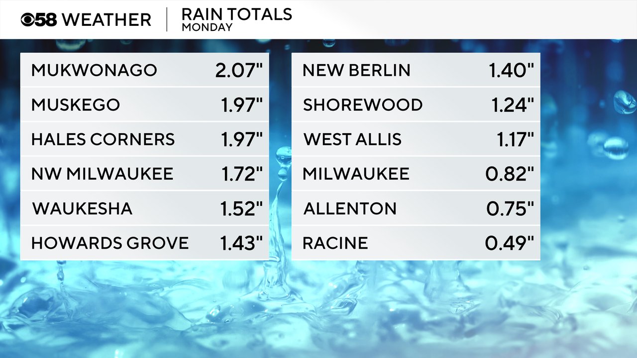
We had quite the light show Monday evening as a cluster of storms rolled through southeast Wisconsin. Some of the storms were strong to seven severe. We also had a few storms in the later afternoon hours and even some storms and downpours in the late morning and early afternoon. All of that rain added up with parts of southeast Wisconsin getting around 2" of rain.
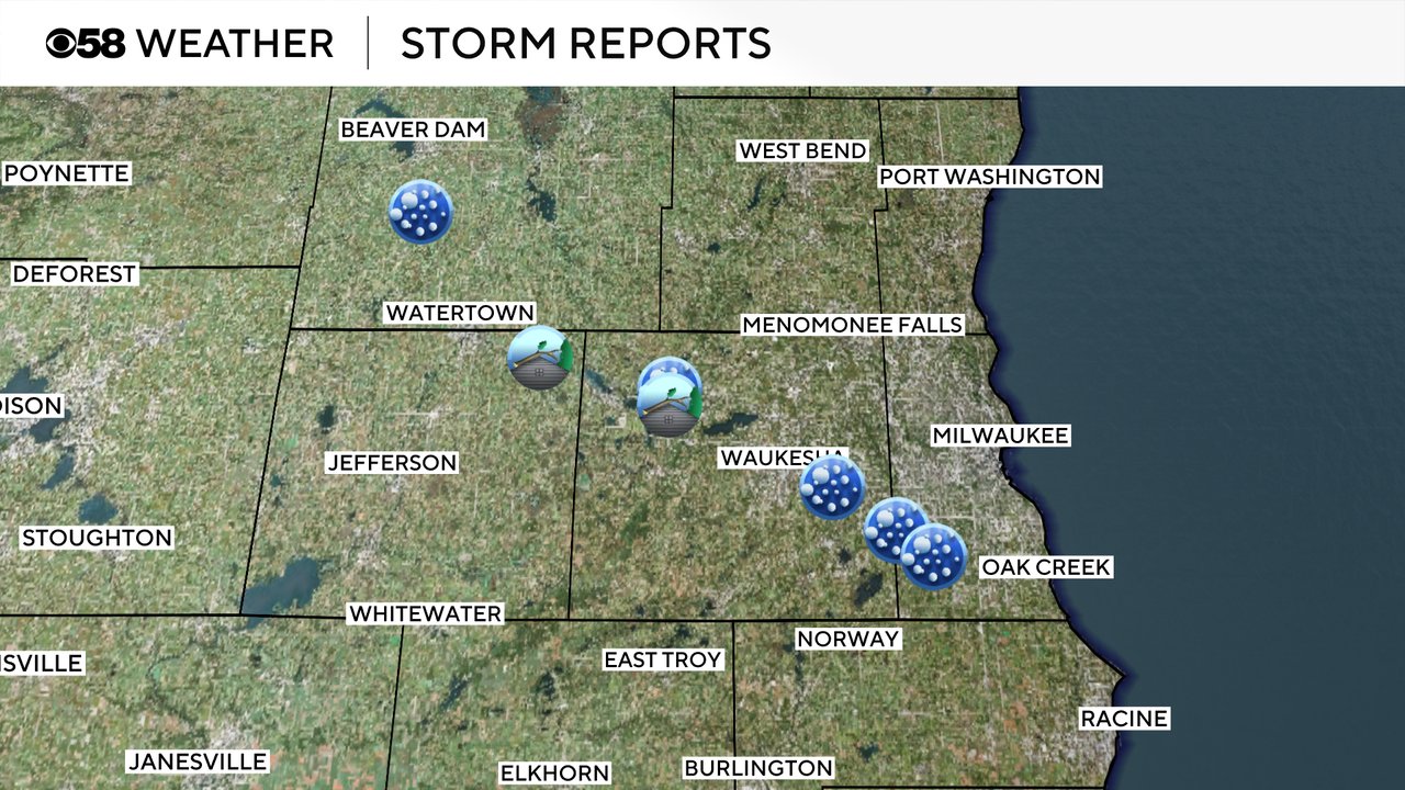
Some of the storms from Dodge County into Jefferson, Waukesha and eventually Milwaukee Counties saw some hail with nickel size hail reported in a few areas. Thunderstorm tree damage was also reported in Jefferson and Waukesha Counties.
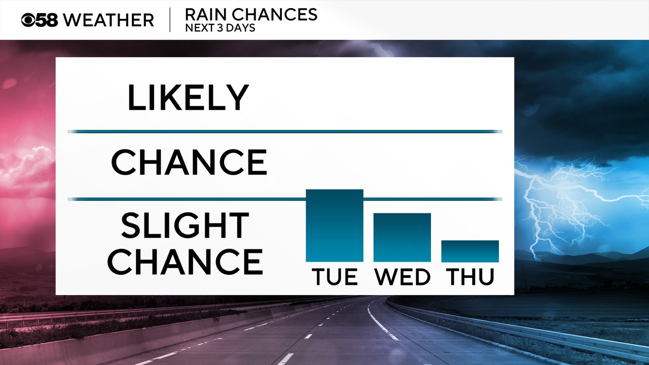
There's not severe risk for storms Tuesday or Wednesday but an isolated shower or storm cannot be ruled out both days. Chances are pretty low for an isolated storm Tuesday and just a slight chance for a few showers on Wednesday. Thursday should kick off a nice dry stretch of days.
Download the CBS 58 Weather app to track any additional areas of rain this week.