Fall Feel Wednesday
A strong cold front continues to march across the Great Lakes this afternoon. A mostly cloudy sky has kept temperatures ahead of the front in the lower 70s. Cooler air continues to push behind the front and will impact our highs for Wednesday.

A strong area of high pressure will slide across northern Wisconsin later tonight and throughout the day on Wednesday. The position of the high will directly impact our temperatures tomorrow. The flow around the high will create a northeast flow at the surface.
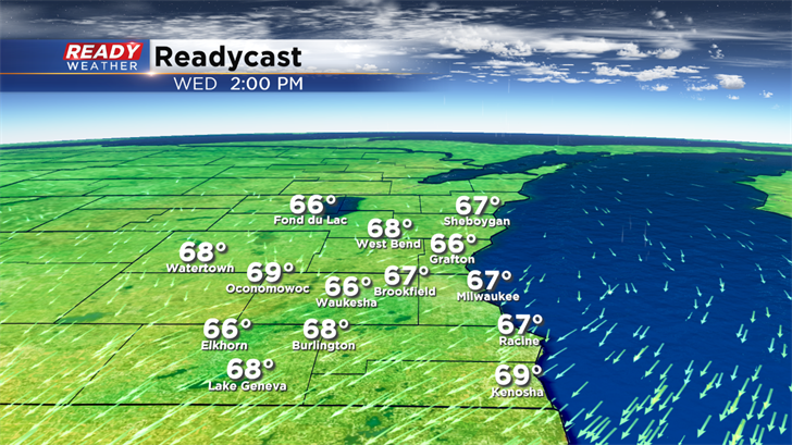
Temperatures across northern Lake Michigan are cooler running in the middle to upper 60s, so those northeast winds will pull that fetch of cooler air across southeastern Wisconsin. Highs for Wednesday will struggle to get out of the upper 60s, which is unseasonably cool for this time of the year. The normal high is 72 degrees.
There's a chance for a few isolated showers lakeside tomorrow with the northeast flow; otherwise, expect a mix of clouds and sun.
