


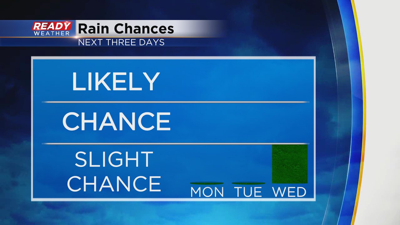
We've had a rain chance almost every day for the last five days. Some of you saw rain and storms during that time and others did not get much. A round of stronger storms rolled through a few communities in southeast Wisconsin Sunday evening with some small hail and a few downpours but our bigger cities didn't see much. The rain chance goes down to 0% for Monday and Tuesday. The next chance for rain arrives Wednesday evening with just a slight chance. Better chances are possible Thursday.
After a few days in the 80s and even hitting 90* to end last week we cool down below-average to start the new work week with highs in the middle to upper 70s Monday and Tuesday. For the second half of the week we see temperatures warm back up closer to average in the 80s.

In addition to the cooler temps, humidity levels will continue to drop. Dew points on Monday will drop into the lower 50s and stay in the 50s for Tuesday. By Wednesday you'll notice some stickiness again with more humidity for the end of the week.

Download the CBS 58 Ready Weather app to track the ongoing summer temps and humidity.