


Temperatures have gone up and down the last few days and another cold blast is now here. Temperatures Monday morning hovered in the single digits above and below-zero. With the wind gusting above 15 mph wind chills got as cold as -25 in northern counties to start the new week. The temperatures will stay in the single digits for many of us with only a few hitting 10-12* this afternoon.

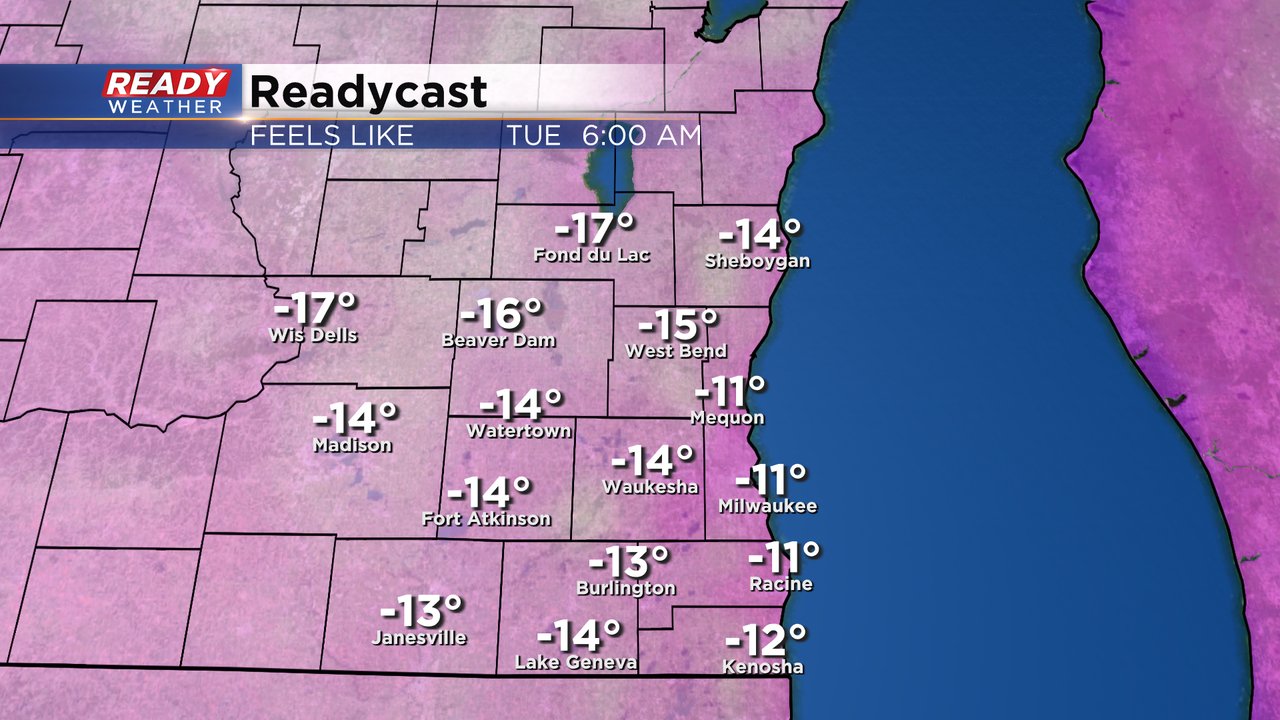
Factoring in the wind, wind chills will stay in the -5 to -15* range all day long on Monday. The wind speed decreases Monday night but actual air temperatures might be even colder. The difference will mean overall similar wind chills Tuesday morning from -10 to -20.
After a cold start on Tuesday, temperatures will finally start to warm up. Highs on Tuesday likely won't happen until the late afternoon and evening when they reach the low 30s. Low to middle 30s are expected for highs the rest of the work week.

Download the CBS 58 Ready Weather app to track the bitter wind chills and the warm up.