


Monday morning saw a decent slushy snow across southeast Wisconsin. The most snow fell in our northwest counties where 4-6" fell across Dodge County. The rest of southeast Wisconsin ended up with 2-4" of wet, slushy snow.

With a little bit of sunshine Monday afternoon we saw a good amount of that snow melt and compact so there's not much left on the ground now. The Monday snow pushed our season snow total close to two feet in Milwaukee. That's still 20" down from average and about half of the amount we had last year.

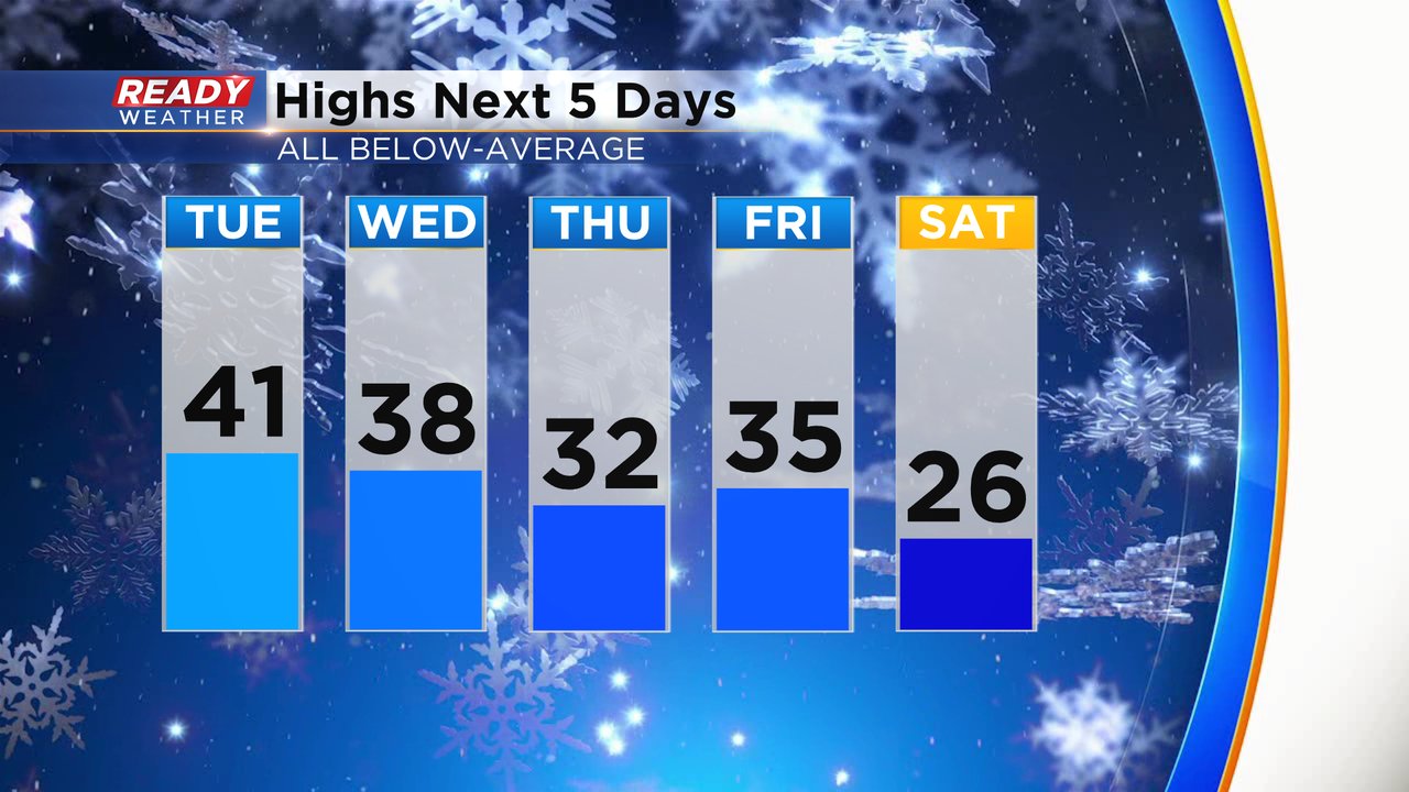
With a fresh snow pack and a few cold fronts moving across the Upper Midwest this week we will stay on the chillier side. Highs will be warmest on Tuesday with highs around 40. Then we drop into the 30s for highs for the rest of the work week. Saturday looks to be the coldest day with highs there in the 20s. There are some signs that we warm back up next week.
Download the CBS 58 Ready Weather app to track the chilly temps.