


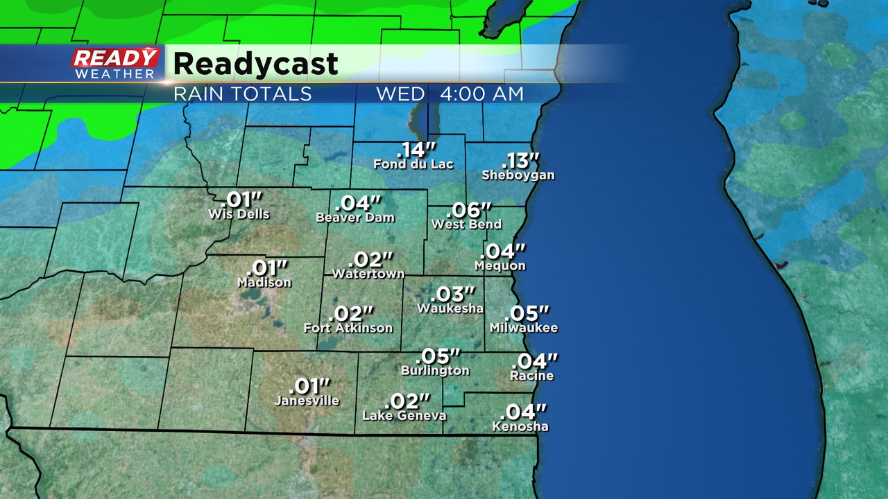
Southeast Wisconsin saw a few rain showers yesterday and a many of us saw the first snowflakes of the season. There's another chance for snow on Tuesday - but it stays to our north. Southeast Wisconsin will just see rain showers with most picking up less than 0.20". Fond du Lac and Sheboygan will likely see the most.
A winter weather advisory has been issued for Tuesday evening just to our north where it will be cold enough for the precipitation to fall as snow.

Areas within the advisory can expect 2-5" - not a bad snowfall for the middle of October.

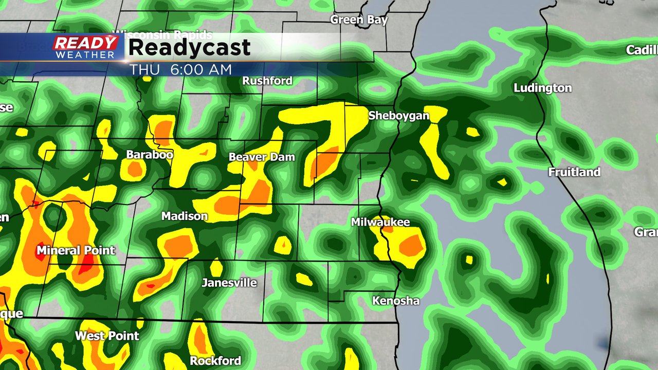
In southeast Wisconsin another round of rain showers will roll through on Wednesday evening and last into Thursday morning. A few rumbles of thunder may be possible Thursday morning and again Thursday evening as temperatures warm into the 60s.
Those 60s won't last long with falling temps most of Friday and 40s for highs returning for the weekend with another chance for rain/snow mix on Sunday. Download the CBS 58 Ready Weather app to track the rain and snow.