


It's been a pretty gloomy week but we have seen some filtered sunshine most days. A few showers here and there have continued our soggy stretch of weather over the last 6 weeks. Both April and Spring are currently above-average on rainfall but we are still almost an inch below-average for the entire year.

We could make up that yearly precip deficit over the next week with a chance for a soaking rain on Saturday and maybe another one next Tuesday. Scattered showers will start rolling into southeast Wisconsin after sunset Friday night and linger through most of the overnight and morning hours of Saturday. A few thunderstorms look possible Saturday afternoon and evening.
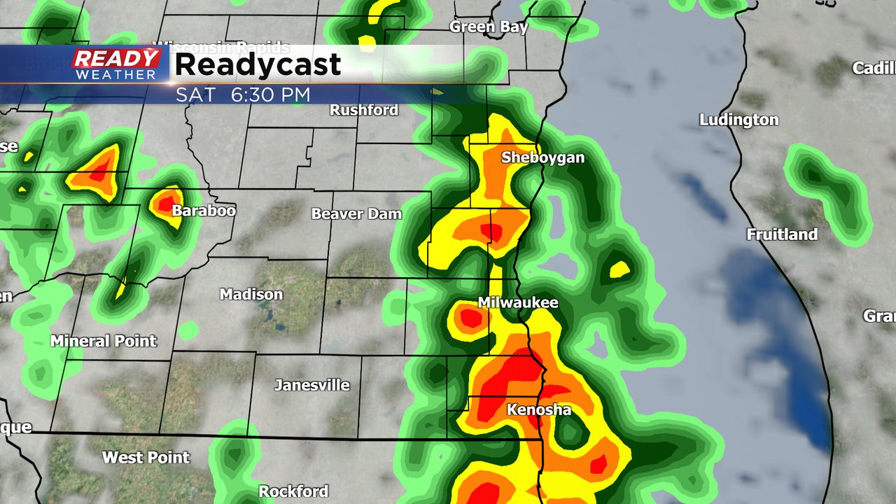
A Level 2 (slight risk) for severe weather has crept into our southern counties. Any storms that are strong or borderline severe could have some hail, strong wind and an isolated tornado.

A decent soaking rain is on the way and expect some higher totals in thunderstorms. Rain totals for most will hover around a half inch.

Download the CBS 58 Ready Weather app to track the showers and storms for Saturday.