Heavy snow for parts of the state, rain and near record warmth for us
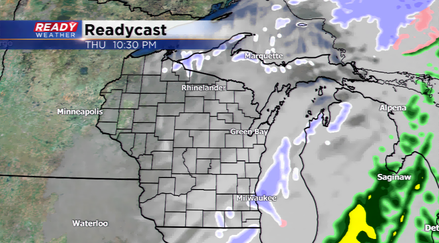
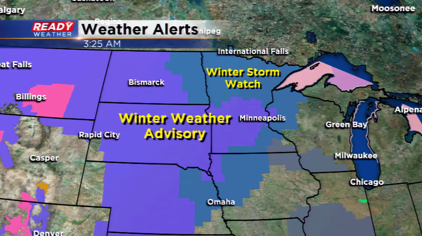
We continue to dodge these snow systems like John Wayne did in his heyday as an actor. The storm system will pass right through the state sending the heaviest snow into the northwest corner of the state and parts of Minnesota. Those spots could see easily 6” if not more with lighter bands from Wausau to Mankato.
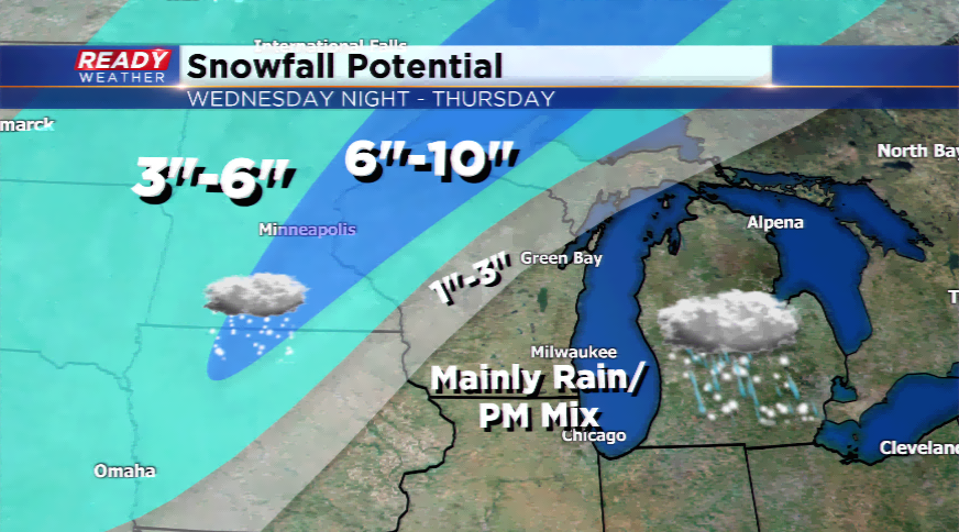
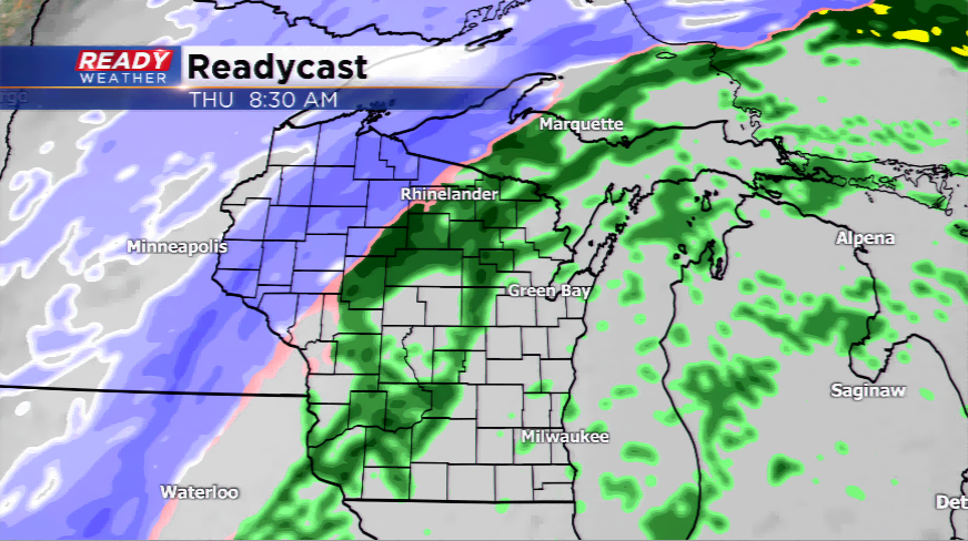
For southeastern Wisconsin, it will be about the warmth, the rain showers, and eventually a switchover to a mix or snow. The highs today jump into the 40s, and then 50s return for the first time since early December. The record is 57 for the high temperature tomorrow; it will be interesting to see how high we go with a gusty south-southwest wind. Expect the temperatures to plummet behind the cold front by the early afternoon on Thursday, and whatever is left over for precipitation could slowly transition to a mix or snow. Very minor accumulation could be possible.
The next cold wave shows its face by Friday, and especially, this weekend. Highs might not even make it out of the single digits on Sunday with lows dropping below zero. This cold plunge will continue for a few days before 30s pop back in by late next week.