Heavier snow missing us today, staying just northwest of us


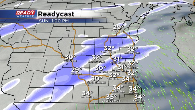
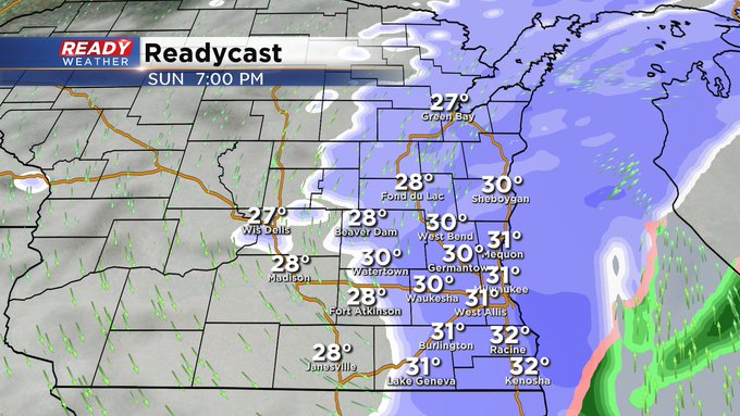
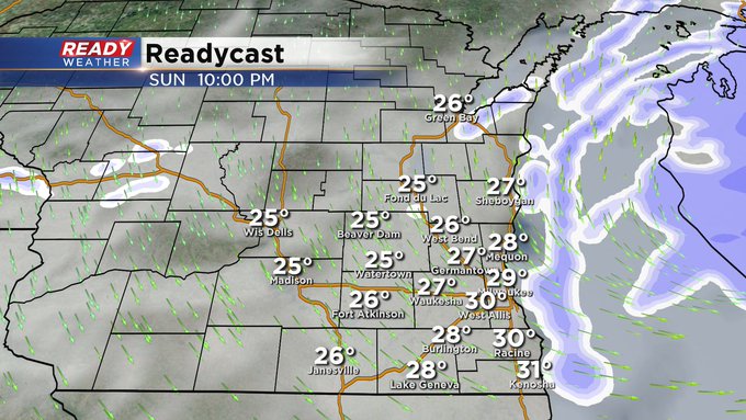
Update as of Sunday 7am...
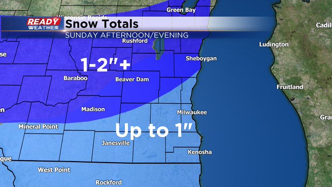
A Winter Weather Advisory is up for central Wisconsin throughout the day, including the Fox Valley. For us, light snow is possible into the afternoon across the northern tier, such as Beaver Dam and Fond du Lac. A slight accumulation is possible there. Elsewhere look for a wintry mix to develop later in the afternoon, switching over to some light snow before ending mid evening. A trace to a half inch will be common for many of us.
————————————————————————————————————————————————————————————
MILWAUKEE (CBS 58)--As of Saturday afternoon, we're more than ten and a half inches below normal with snowfall for the season. But we're going to make up some of the difference this coming week, starting on Sunday. Low pressure is coming up from the southwest during the day. This means snow will overspread the region during the afternoon. Look for rain to mix in, especially along and south of I-94. The farther north you are, the colder and snowier it will be. Totals should be a few inches across the northern tier and less around the metro and points south and west.
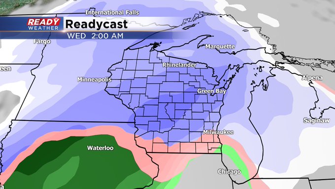
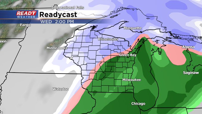
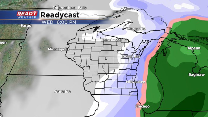
We then take a break for the start of the week followed by another storm system for Wednesday into early Friday. This promises to be a potpourri of wintry weather elements.
So stay tuned for updates as the event itself gets closer. Look for dry and seasonable weather next weekend, the first one of 2021! Bring it on.
By the way, now is the time to download the free CBS 58 weather app to keep track of the snow coming this week. Also, you can send weather photos via this social media platform or via email at [email protected].