A little warmer and more humid each day with persistent storm chances


The temperatures will continue to go up over the next few days. Each day looks to be about three degrees warmer than the previous day. Wednesday we topped out at 83, Thursday looks to hit 86, Friday 89 and Saturday looks to be the warmest day at 92. The humidity levels will increase as well with dew points in the upper 60s Thursday and low 70s Friday and Saturday. The heat index values or feels like temps will stay in the upper 80s to around 90 Thursday then start to reach the 90s for Friday and potentially the upper 90s on Saturday. If Saturday looks like we could see 100 for the feels like temps we could see a heat advisory issued for some areas.

The last week we haven't see much in terms of rain but we have seen a lot of wildfire smoke and haze. The last time we had rain was a good soaker we had last Wednesday. Since then it's been all dry with August currently sitting 0.69" below average on rain.

After a dry start to Thursday a few showers and storms will be possible in the late afternoon and evening. Best chances for rain start after 4 PM with continued chances overnight Thursday through Friday morning.

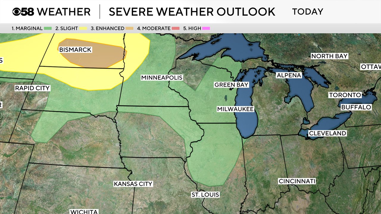
Any storms that we do see on Thursday and Thursday night could be on the stronger side with some gusty wind and small hail. Widespread severe weather is not expected and some could even stay dry. The better chance for strong to severe storms is in North Dakota where a Level 3 Enhanced Risk is in place.
Download the CBS 58 Weather app to track the warmth, humidity and storm chances.