


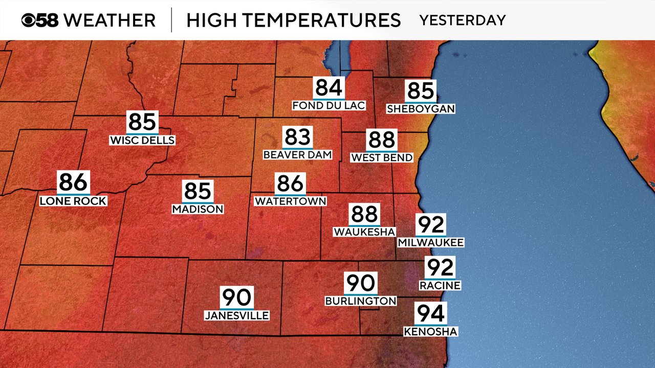
Tuesday was a hot day. It was the warmest day of the year in Milwaukee with highs reaching the low 90s for the first time since the end of August. All of the 90s Tuesday were in our southeast counties in the low 90s but the rest of southeast Wisconsin was still plenty warm in the mid to upper 80s.
We will be much cooler Wednesday with a northeast wind combined with clouds and rain keeping highs in the low 70s for most of the area. Highs will warm back up in the 80s Thursday and Friday then the heat returns in the low to middle 90s for the weekend.

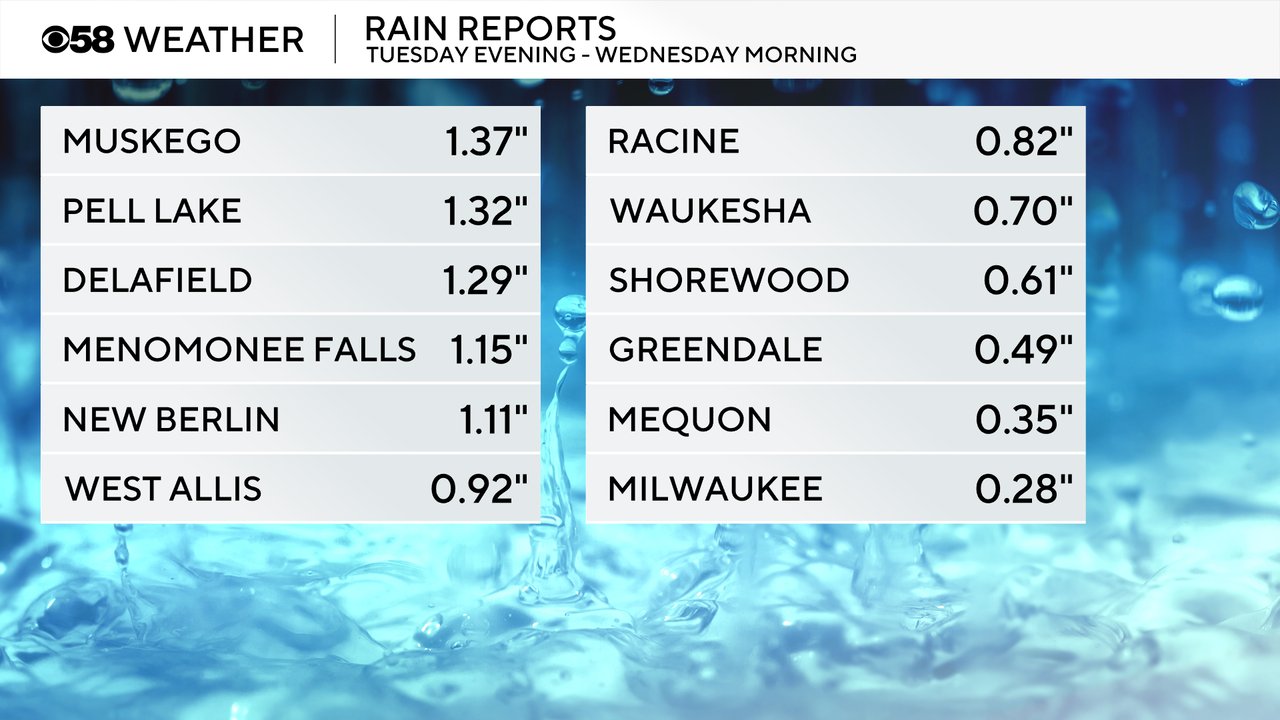
A round of heavy rain and storms rolled in Tuesday evening through Wednesday morning with some areas getting over an inch of rain with some stronger storms.
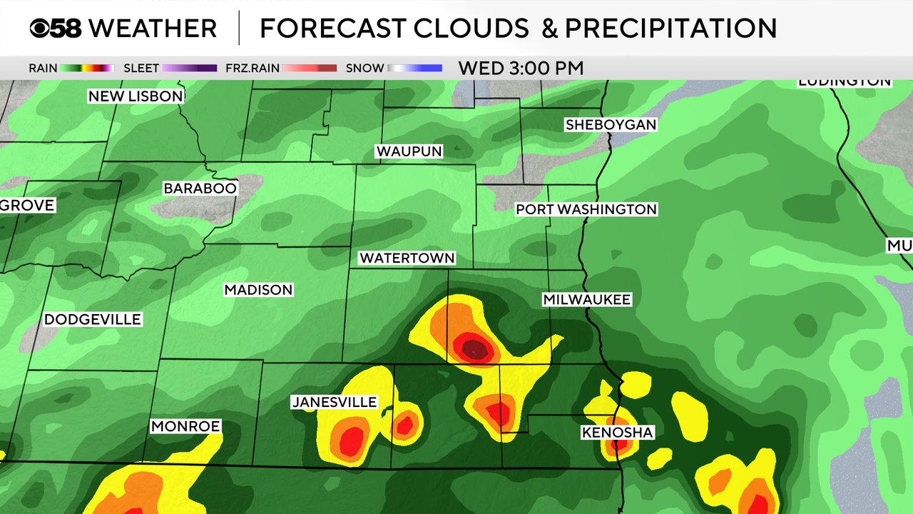
A few more showers are storms are out there this Wednesday morning with more storms likely throughout the day. The best timing for some dry break Wednesday will be in the late morning through midday then a round of heavy rain and storms looks likely in the mid to late afternoon with more showers and storms Wednesday evening.
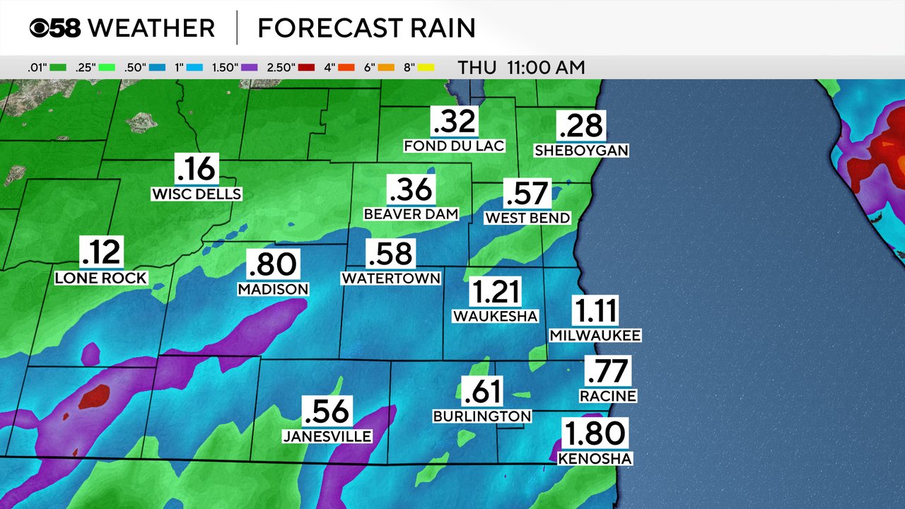
Rain totals for Wednesday could be a big soaker in areas that see downpours in storms with 1-2" possible. Other communities won't get as much around a half inch or so.
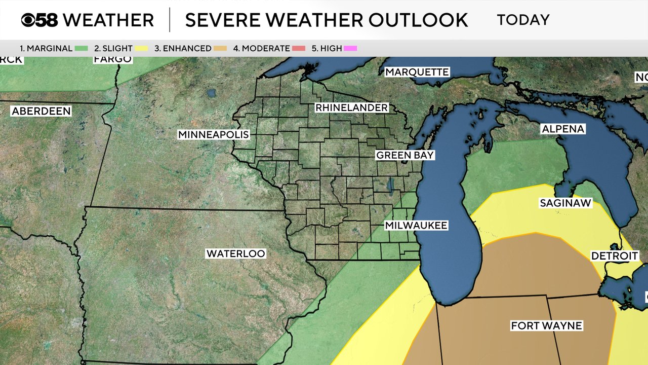
There is still a chance for some stronger storms Wednesday, mainly in the afternoon, but overall the severe threat has decreased with better chances for severe weather across Indiana where a Level 3 Enhanced Risk is in place. Locally parts of our area are under a Level 1 Marginal risk for strong storms.
Download the CBS 58 Weather app to track the rain and storm chance.