Weekend Storms Return....Some Strong to Severe
The quiet weather will continue through Friday afternoon as we welcome the start of June. The pattern becomes very active late Friday night into Saturday, and that could mean the chance for strong to severe thunderstorms.
June across Wisconsin is our most active severe weather month. Scattered showers and storms will develop across SE WI late Friday night into early Saturday morning. Some of those storms could produce small hail and gusty winds, but the bigger severe threat is possible for Saturday afternoon and evening.
A partly cloudy sky will develop Saturday afternoon allowing temperatures to spike close to 80 degrees. Along with the warmth will be a humid atmosphere fueled by dewpoints in the middle to upper 60s. For strong to severe storms to form, higher dewpoints are needed. The necessary ingredients look decent for Saturday.
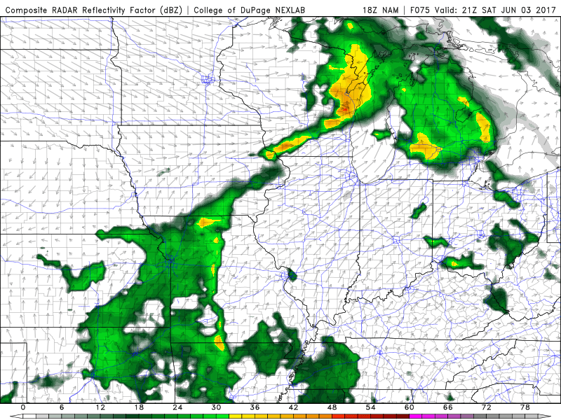
By the late afternoon showers and storms will likely erupt to our northwest and move southeast. The storms will encounter wind shear, or turning of the winds with height. Wind shear is necessary for storms to rotate. Rotating storms can support larger hail and an isolated tornado threat.
We will continue to watch this forecast closely for you as we get closer to the weekend. If the ingredients come together, all modes of severe weather will be possible.
