UPDATE: Quick Accumulating Burst of Saturday Morning Snow
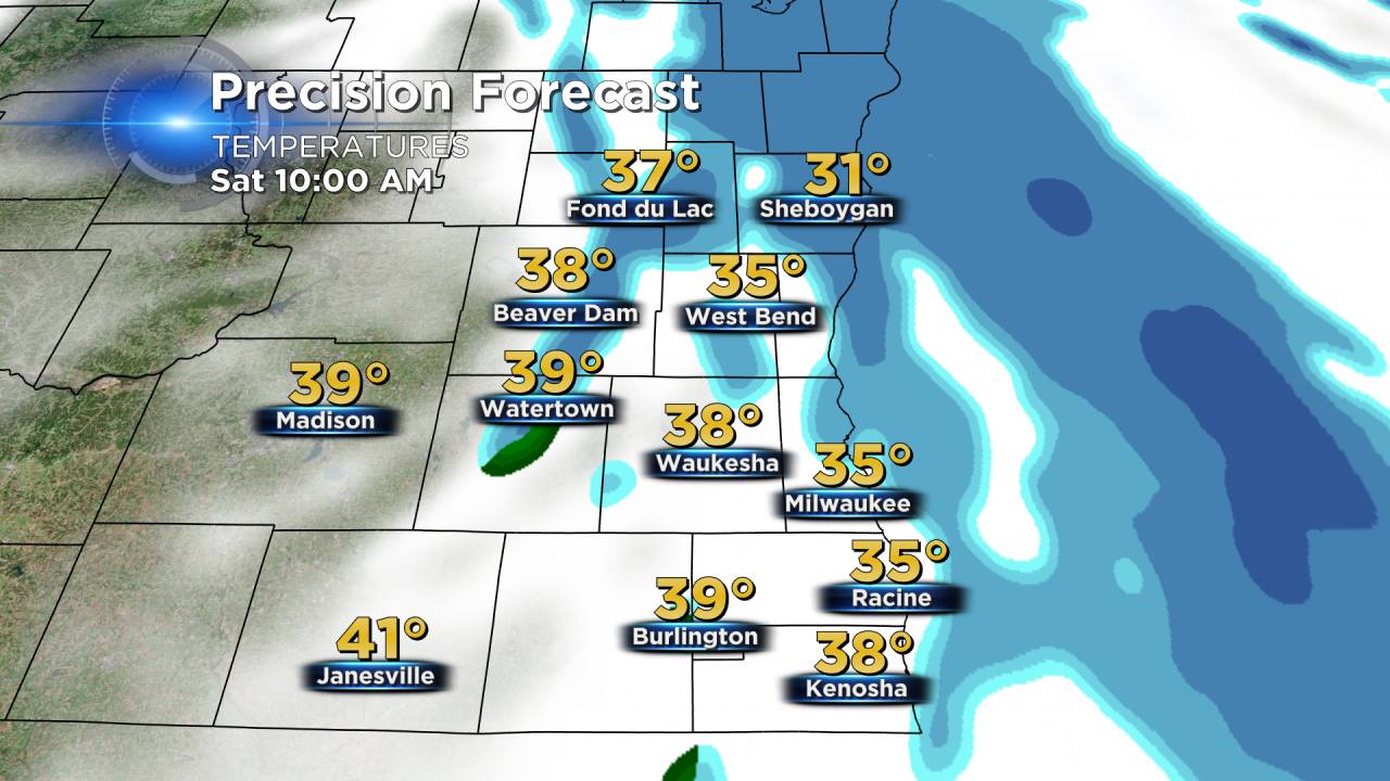
April snow is coming! We are tracking snow showers for your Saturday. Take a look at the graphic above. A quick moving clipper will drop southeast with plenty of cold air and moisture to work with.
Radar trends show most communities will get anywhere from a dusting to 2" of snow, especially on grassy surfaces. Some isolated northern areas could pick up as much as 3". Roads will become slick with slushy accumulation so drive safe. A few snow showers linger into the afternoon but most of the accumulating snow falls in the morning. Wind picks up by late morning and will gust to 45 mph through the afternoon so visibility will likely be reduced.
A wind advisory is in effect until 7:00 PM.
April snow is typical and not out of the ordinary! April averages 2" of snow every year. We typically see our last measurable snow fall on April 8 and the latest measurable snow to ever fall in Milwaukee was May, 11th 1966.
