Tracking our next chance for snow
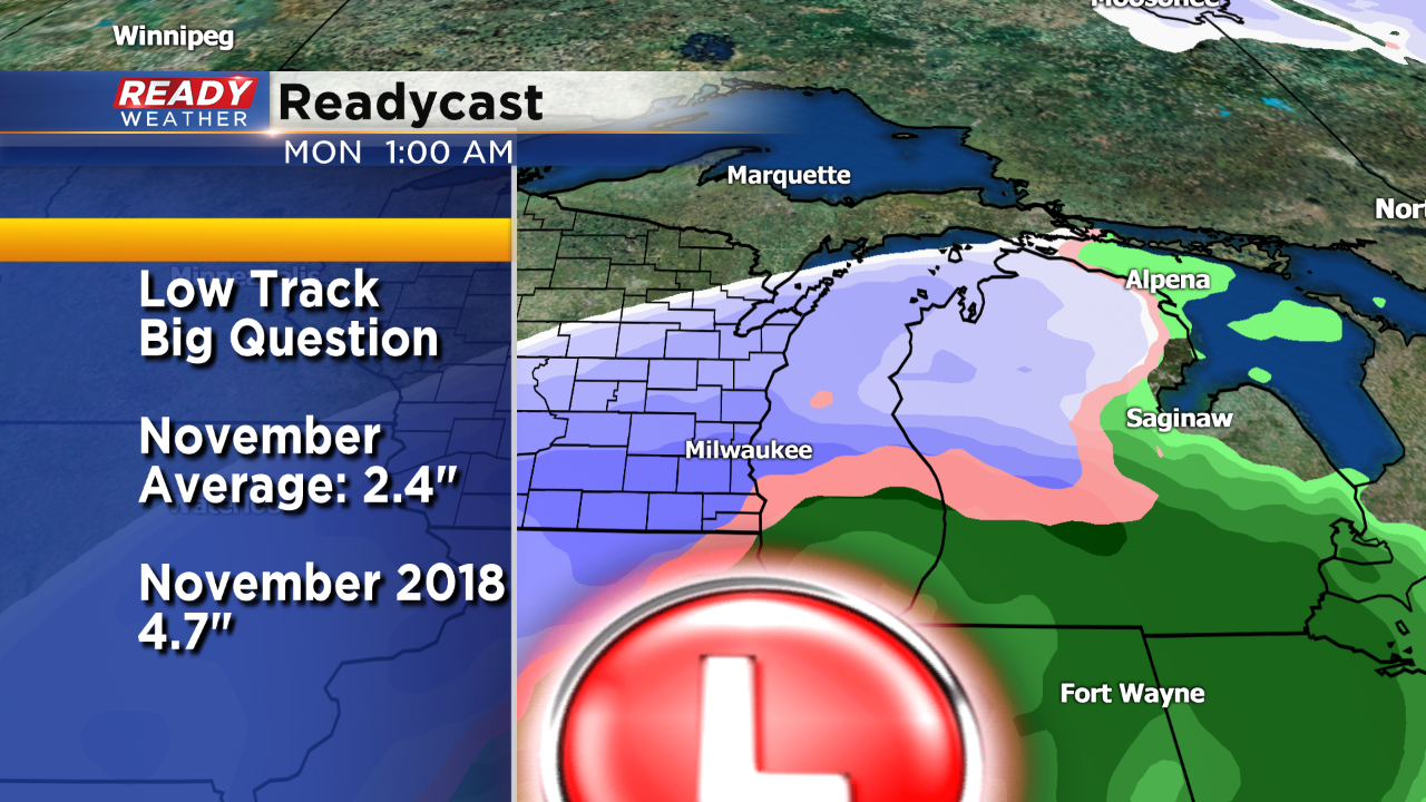
Already this November has been above average for snowfall. As of today Milwaukee has picked up 4.7" of snow. That's well above the normal of 2.4". In fact it's the second snowiest November over the last 5 years. 2015 was the snowiest with just under 7 inches; however, we could add to our snow total by early next week.
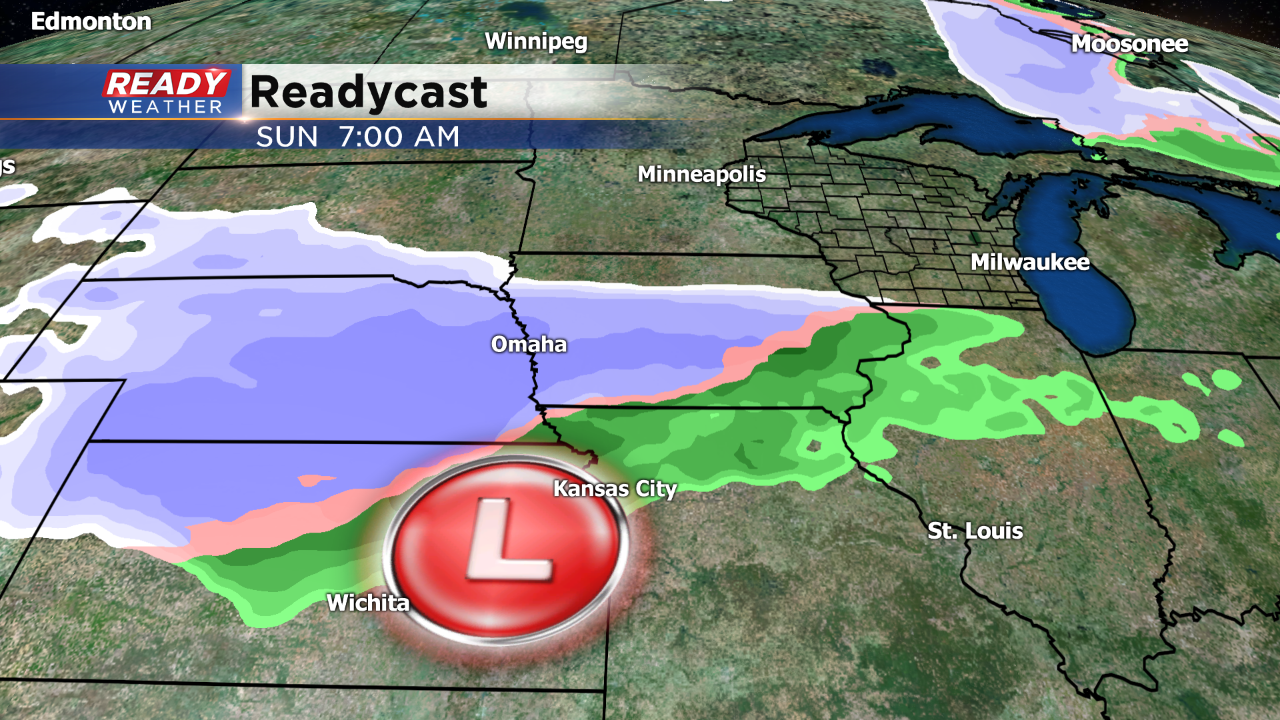
The long range computer models continue to place a surface low to our south for Sunday into Monday. Depending upon the actual track of the low, this could mean significant accumulation for our area. I want to stress that the track has not been determined. We aren't going to speculate on snowfall totals at this point.
Right now it appears that rain will change to a mix either Sunday afternoon or during the evening. Once the cold air wraps around, that mix would turn into snow for the Monday morning commute.
If the low tracks further south we could actually miss out on the snow. There are many factors that we'll need to iron out before we talk about accumulation!
