Soggy Tuesday and Wednesday with snow mixing in Thursday


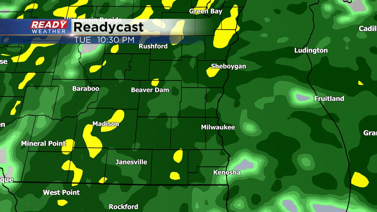
A large slow moving storm system is knocking on our doorstop Tuesday morning. An area of rain is expected to me in by mid-morning and last, at least in an off and on fashion, through most of Thursday. The rain will start off fairly scattered for Tuesday morning through early afternoon but by Tuesday evening through Wednesday morning a round of moderate steady rain is expected.
On Wednesday a little dry air will start to roll in but at least scattered showers are still possible most of the day. Going into Thursday some of the rain will mix or switch to snow. Little to no snow accumulation is expected.

Rain totals will be heavy with most of southeast Wisconsin seeing 1" to 2" of rain by the end of Thursday. The ground has thawed down to about 10" so a lot of this rain will be soaked into the ground. Make sure your gutters are working properly and downspouts are cleared to prevent water from getting into your basement.

Friday morning looks fairly dry but by Friday evening another storm system could roll in bringing us another chance for rain/snow mix.
Download the CBS 58 Ready Weather app to track the rain the next few days.