Snow likely this weekend
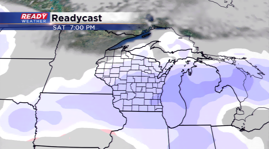
With the cold returning today means the jet is well positioned once again to throw disturbances at us the next week. The first will be a clipper that sinks southeast into the viewing area this weekend, which will bring in snowfall for the region.
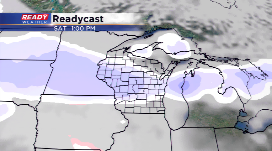
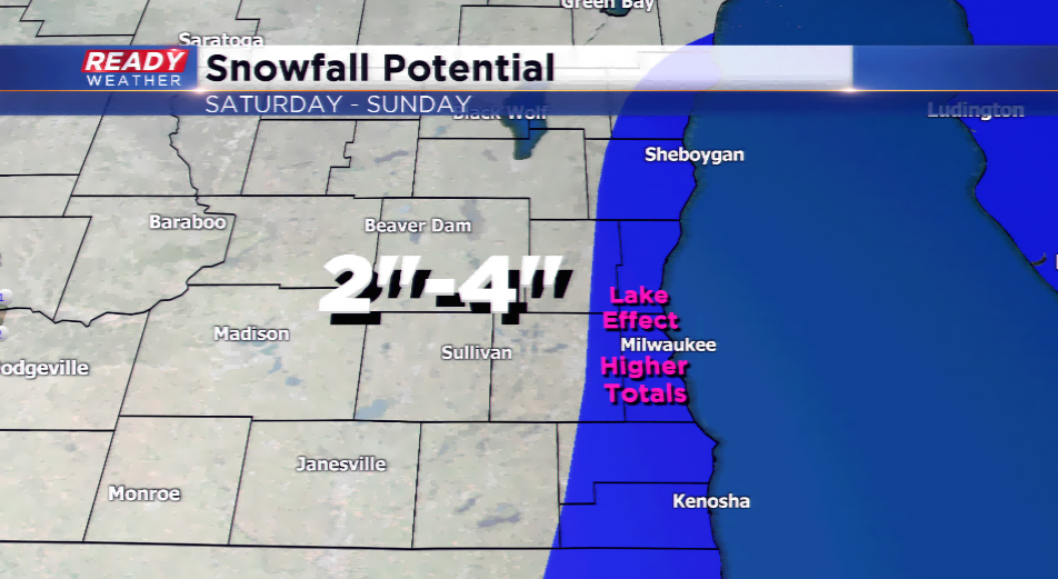
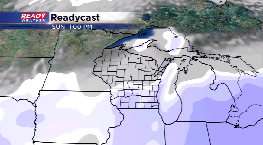
The models are still differing with the exact timing of the snowfall, but most are indicating the potential for snow to kick up by Saturday, and slowly coming to an end on Sunday. Clippers are typically fast-moving systems that drop a few inches of snow and leave; however, with the open lake waters, lake effect snow could be a problem along the lakeshore on Sunday.
Once the high resolution computer models come in today, we will have a much better idea on exact timing, and what most of you are wondering about, totals. I did put together a preliminary total estimate of 2”-4”, with higher amounts possibly near the lake. *PLEASE REMEMBER THIS WILL LIKELY CHANGE BETWEEN NOW AND SATURDAY, THIS IS RIGHT NOW A PRELIMINARY FORECAST*.
Impacts will be felt around the area as travel will be a problem with snow-covered roads, tricky driving, and slippery stretches. Plan ahead for this storm!