Showers and Storms Tonight, Then Big Heat This Weekend
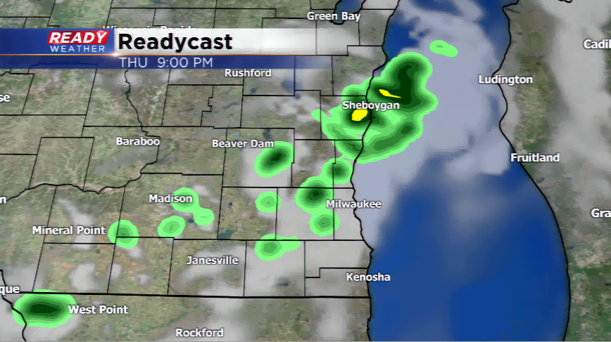
The string of dry weather will come to an end for some this evening and tonight. It has been a glorious first full week of June. Sunshine, blue skies and comfortable weather has been the norm. A weak front and trough will kick up a few showers and storms later tonight. This all comes to an end by Friday morning. The timing of the wet weather will be after 8 pm tonight and will turn to a slight chance by the morning commute on Friday. There will be a small chance for a pop-up shower tomorrow, otherwise a mix of sun and clouds.
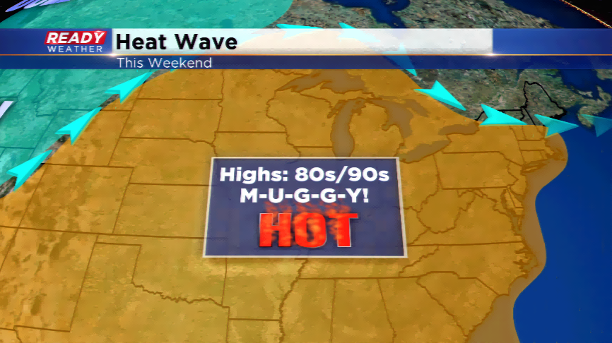
The real story is the major heat this weekend. How hot and humid will those readings get? There’s a real chance Milwaukee hits its first 90 degree high, and possible more than one. An upper-level ridge will develop in our region allowing a southwest wind to pump in all of that heat and muggy air. Last year, our first 90 degree high was June 10th, which this year is on Saturday. Saturday will be our first chance at 90 degree. The chances increase for Sunday through Tuesday with daytime temps around 90 and heat indices (what it feels like with the humidity) well above 90. The last time Milwaukee had three consecutive highs 90 degrees or warmer was back in 2014 during the days of July 20th, 21st, and 22nd. A cool down is expected by the middle of the week. Don’t expect a major cool down though; highs will only go back down in the lower 80s before returning to the