
Rain showers return before chilly temps arrive with a chance at snowflakes



It has been a mild start to the new work week with highs reaching the 60s both Monday and Tuesday. Overall, the start to November has been very mild with most of the days so far this month seeing highs in the 60s. With an average temp of 51.6 degrees it is currently the 7th warmest start to November on record.

Wednesday won't be as warm as Monday and Tuesday, but it is technically still above average with highs in the 50s. The rest of the week looks very chilly with highs in the low 40s through the weekend.

Low temperatures will push frost and freeze back to the top of our minds. Some inland frost is possible Thursday morning, although clouds and strong winds might prevent it from occurring. A widespread freeze, even lakeside, is expected Friday and Saturday mornings.

Rain chances will return on Wednesday. The best timing for any rain will be from the mid-morning hours through the late afternoon. Only some isolated showers are possible for Wednesday evening.

Some showers could linger lakeside for Thursday with the potential for some lake effect. As temperatures cool it is possible that some snowflakes mix with the rain. No snow accumulation is expected, but we could see the first snowflakes of the season.
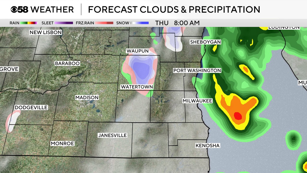
Download the CBS 58 Weather app to track the rain showers and chance for snowflakes.