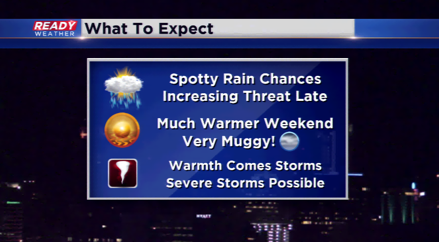
Rain returns today, severe weather by Sunday
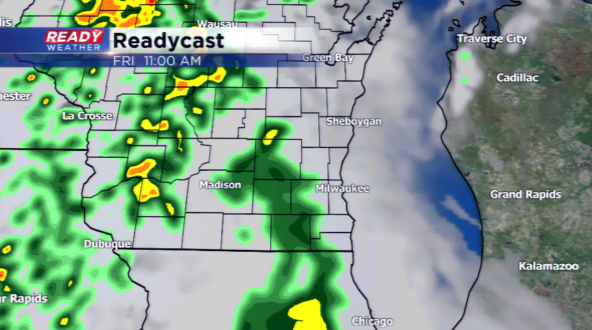
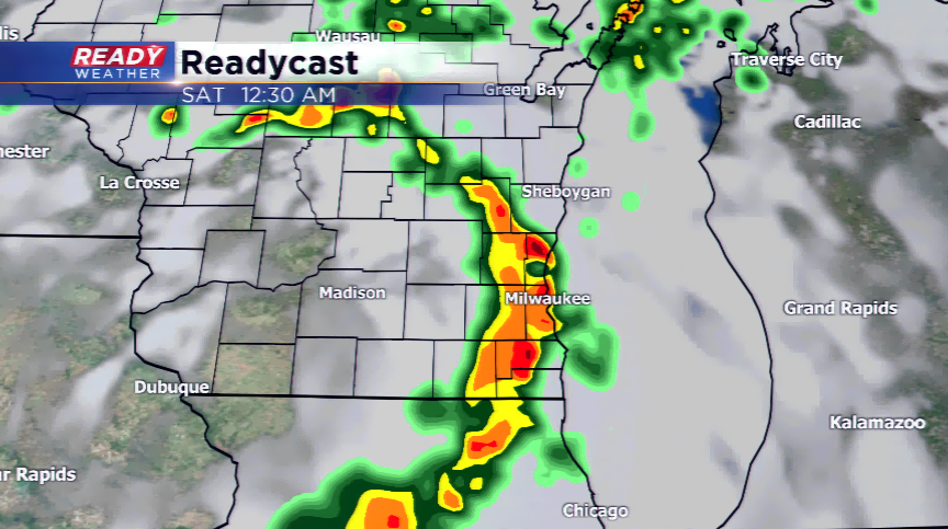
Showers and isolated storms will begin to move in this morning; however, this first round should not be heavy with the drier conditions and less favorable ingredients. The activity will be spotty and will try to dissipate some as it gets to southeastern Wisconsin in the morning and early afternoon. The main source of energy will roll in tonight; this should give the reason a dose of more rain and storms, this time a little heavier. A few storms out west could turn stronger with gusty winds, hail, and heavy downpours. The activity could continue into Saturday morning before ending and staying quiet the rest of the day.
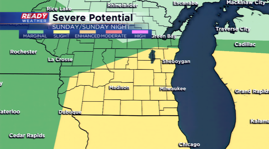
A southwesterly flow develops by later Saturday and Sunday. This will lead to a very warm and rich atmosphere for the end of the weekend and early next week. Highs could track back close to 90 a few days, while the dew points will skyrocket into the 70s. This is a setup that could lead to widespread strong to severe thunderstorms by later Sunday and early Monday. The Storm Prediction Center already, three days out, has the area under a *slight* risk of strong to severe storms. A situation such as this will have to be monitored closely. More details to come the next 24-48 hours!