Quiet and mild end to the weekend leads to dreary Monday and falling temps


After a pleasant day with some sunshine on Saturday, more clouds will move into the area on Sunday ahead of the next low pressure system. Winds will be a bit breezy to start the day, but they’ll help boost temperatures into the low to mid 40s during the afternoon. If you have any outdoor chores you’ve been putting off, tomorrow will be the day to get them done!
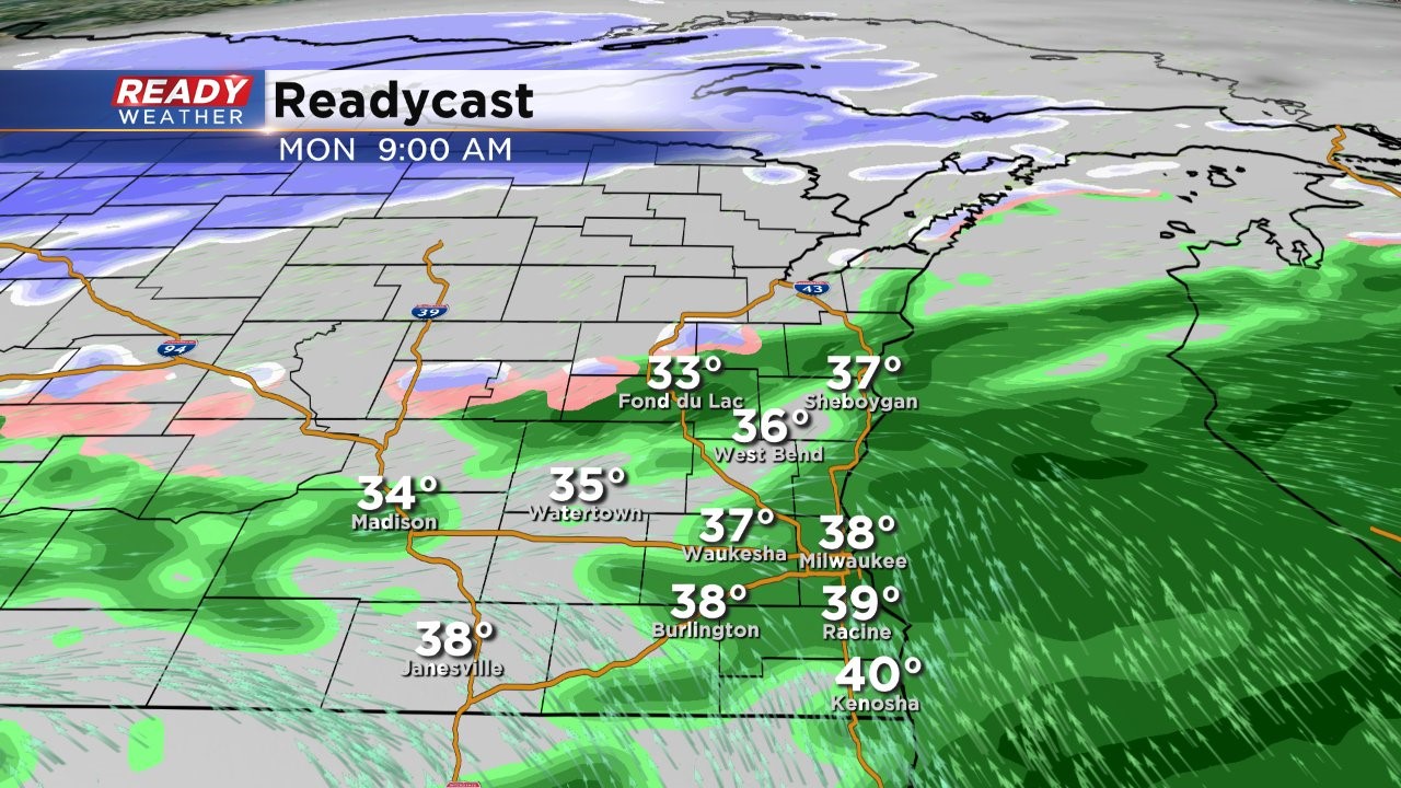
Patchy drizzle will develop Sunday evening and continue overnight ahead of the low pressure system. As it moves closer, light rain will push into the area Monday morning and continue into the afternoon.
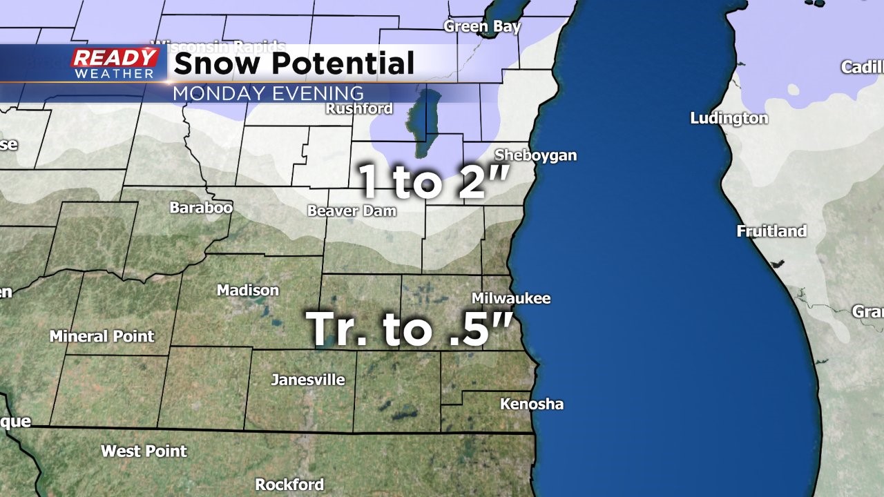
By late afternoon and early evening, cold air will begin to wrap around the system and change the rain briefly to a mix and then to snow. The snow will come to an end Monday night.
1 to 2 inches of snow will be possible across Sheboygan, Fond du Lac, and northern Dodge counties, with a dusting to a half inch expected around Milwaukee and Waukesha and points southward.
Behind this system, temperatures will be plummeting into the upper teens to low 20s for highs on Tuesday and then struggle to make it out of the mid teens on Wednesday. While winds won’t be too strong, they’ll be strong enough to put wind chills in the single on Tuesday and single digits below zero all day Wednesday.