Most of today great; rain/mix moves in tonight and Thursday



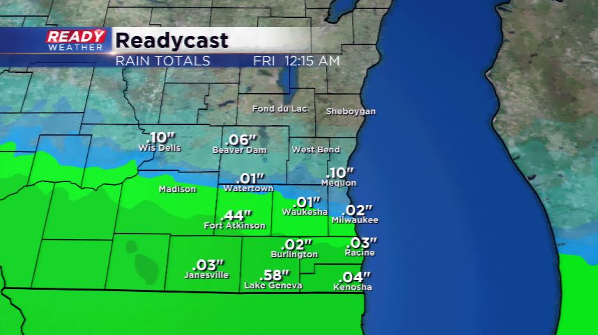
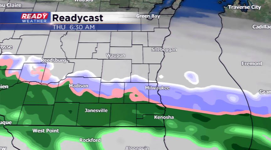
We have waited for sunshine and a mild day, and Mother Nature is delivering for us. Today will feature highs in the mid 50s with lots of sunshine, especially early on. We’re watching a storm system for later today and tonight which will increase the clouds and usher in a chance for rain. At times, we could see wet snowflakes mixing in with the rain. The challenge of this forecast is how far north the precipitation proceeds. Most of the models are keeping the precipitation around the I-94 corridor, or just north of it. This means our northern counties will dodge most of the rain or snow showers.
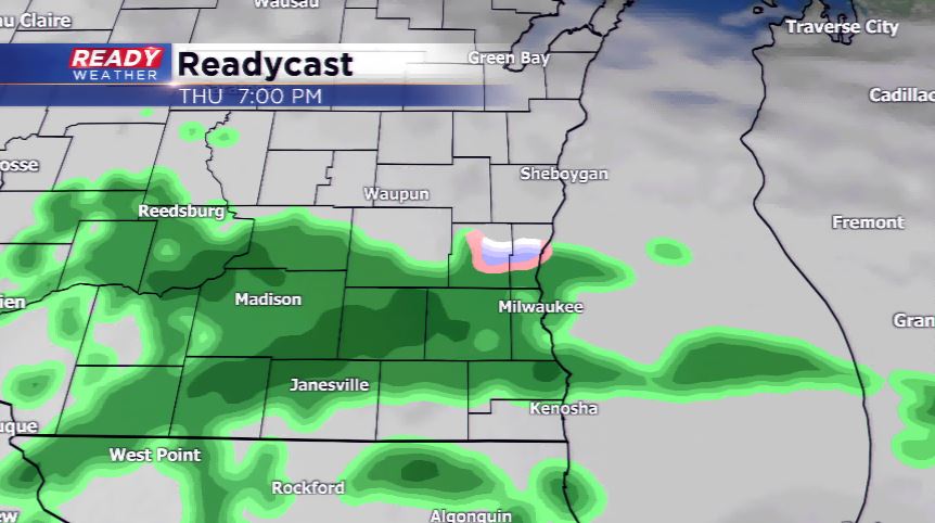
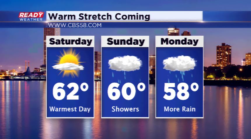
The rain chances diminish into Thursday night. Friday is setting up to be a nice, mild day with highs in the low 50s. Thanks to high pressure, another great day is anticipated for Saturday, although, we’ll run into the 60s. However, rain returns on Sunday and Sunday night.