More snow for the weekend
After a significant snowfall over the last 24 hours, we do have a few more chances for the weekend. I want to stress that these next chances will be minor compared to what we just had, and they will be confined across the southern portion of the viewing area.
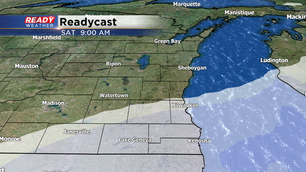
The jetstream remains very active through the weekend. While most of the significant snow will stay to our south across Illinois, there's just enough northern movement to keep chances in. The first chance will be for Saturday morning. The snow will primarily be confined along and south of 94. Less than an inch is expected and will be gone for the afternoon.
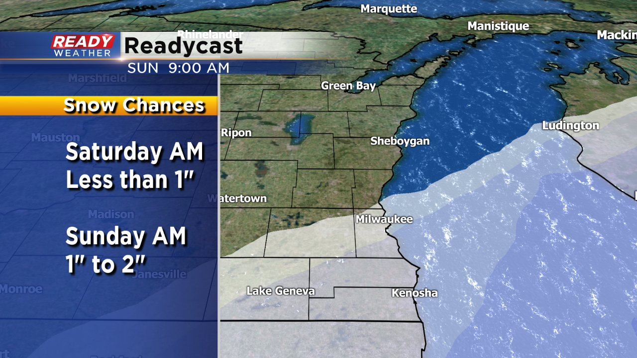
The second wave comes in late Saturday night into Sunday morning. This wave will be in a similar spot; however, there's a chance for slightly higher totals over an inch. The snow should be out for the afternoon.
We will continue to update the forecast throughout the weekend!
