Light snow is moving across the area this evening. Light accumulation is possible


6 p.m. update:
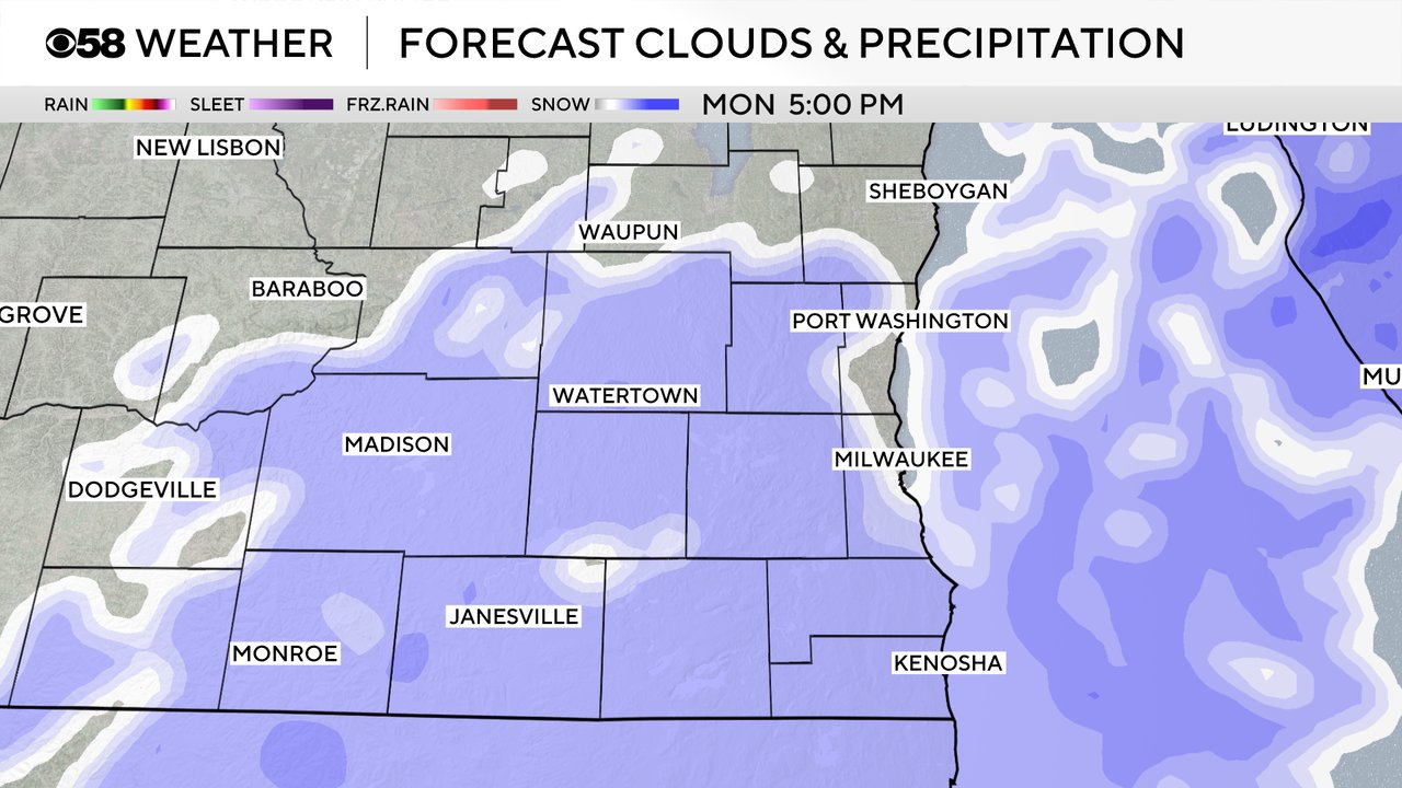
Light snow is slowly moving into southeastern Wisconsin this late afternoon. The heaviest of the snow will fall south of the border across northern Illinois.

This system will be nothing like the weekend storm; however, with temperatures in the 20s, some slick spots are possible on the roads. Most areas could pick up around 0.5" of snowfall.
Plan on scattered snow showers to wrap-up around midnight.
_____________________________________________________________________________________________________________
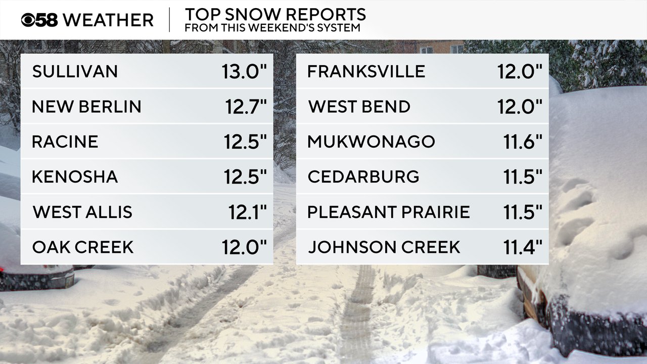
The first big widespread winter storm of the season is in the books! Besides the lake effect event in eastern Racine and Kenosha counties a few weeks ago, this was the first major storm of the season. And it was right on track with the forecast with most of southeast Wisconsin picking up 8-13" of fresh snowfall.
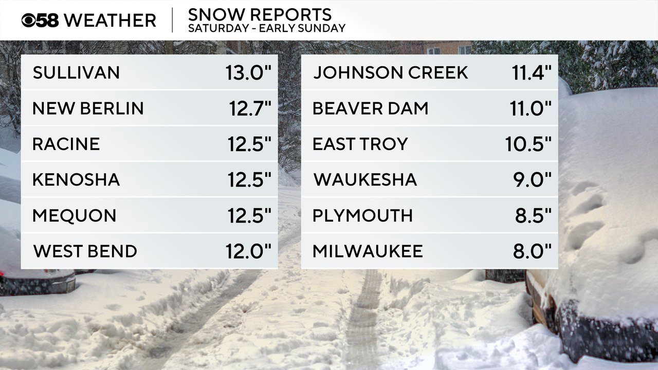
The wildcard going into the storm system was going to be in the influence of Lake Michigan. Areas right near the Lake had a very wet, heavy snow that even mixed with rain at times. But just a few miles inland all of that Lake moisture meant much higher snow totals as the snow became drier. Our highest totals weren't confined to one area with spots like Sullivan out west getting close to the same as western parts of Racine and Kenosha. The highest totals were from 11-13".
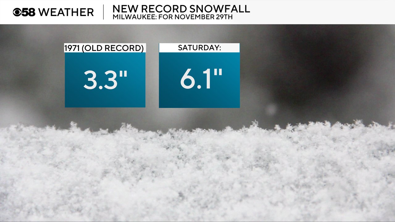
Milwaukee saw record snowfall for the date on Saturday, November 29th. The old record for daily snowfall was 3.3" set back in 1971. But on Saturday alone Milwaukee picked up 6.1" shattering that old record.
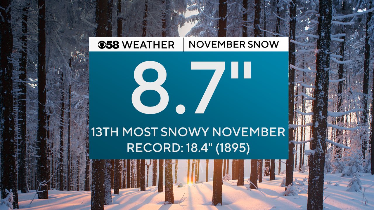
That also pushed our November snowfall to 8.7" for the month which goes down as the 13th most snowy November on record. The record snowiest November was about 10" more back in 1895.
Thankfully some sunshine came out Sunday to aid in the snow clean up but that also led to lots of icy patches and slick spots for the Monday morning commute as all of that melting froze. After a dry start to Monday the next round of snow rolls in for Monday afternoon and evening. Overall, this will be a light snow but some steady snow is possible especially for the afternoon and early evening hours. The evening commute could be slow with snow covered roads.
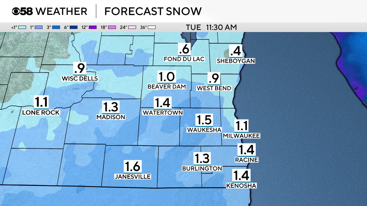
Most of that snow wraps up by the time the morning commute gets started on Tuesday. The majority of southeast Wisconsin will see a dusting to 2" of snow Monday into early Tuesday. Lesser totals are expected in our northern counties with higher totals near the IL border where 2" is possible.
Download the CBS 58 Weather app to track the next round of snow.