Isolated Strong Storms Possible Late Sunday
Saturday's beautiful weather is expected to linger into Sunday. Sunday should be even warmer for most of southeast Wisconsin with highs in the 70s for inland areas and lakeside communities in the upper 60s with a lake breeze. Expect a few more clouds on Sunday than what we saw Saturday due to an approaching storm system but filtered sunshine should make it through.
There is a storm chance Sunday night after 9:00 PM, but the best chance for storms will be in northern Wisconsin where the warm front will be located.
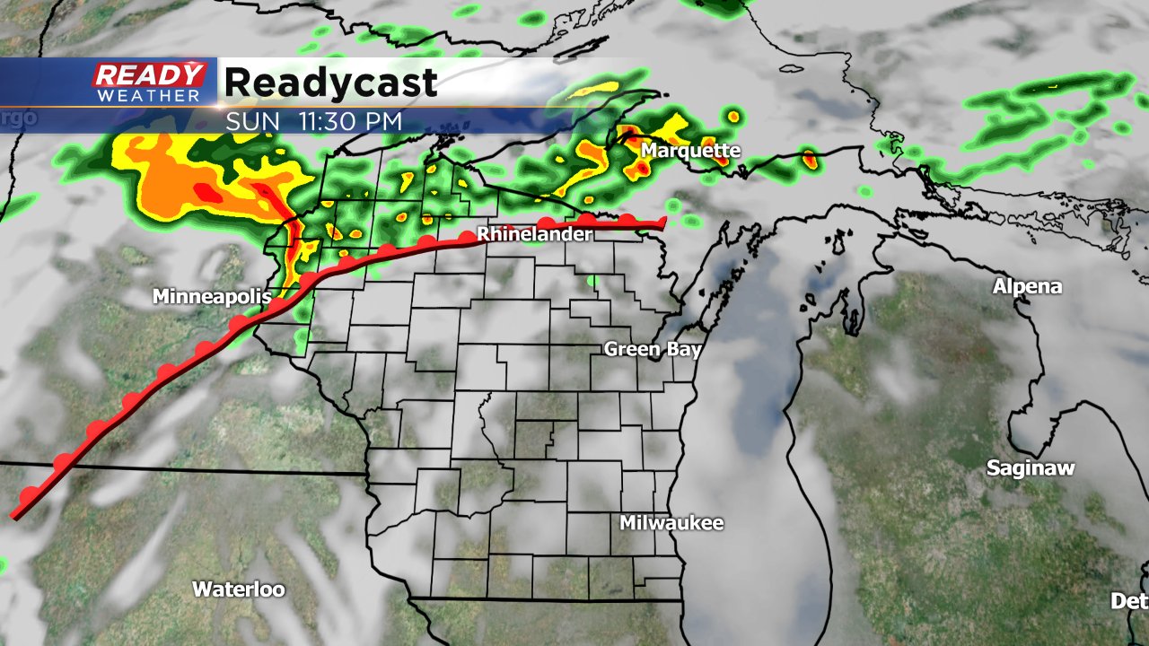
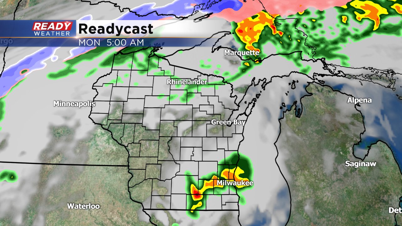
If storms can find something to form upon then they could likely become soakers pretty quickly. The latest Saturday night version of Readycast does bring in a few storms just before daybreak on Monday.
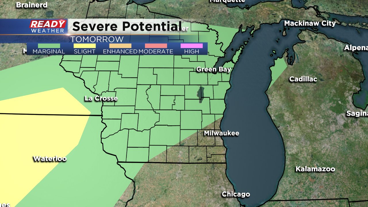
If storms do form, and that does remain a big if at this point, they could become strong to severe with hail as the main threat. As of Saturday, the NWS has the northern part of our viewing area in the marginal risk for severe weather which is the lowest risk.
Download the CBS 58 Ready Weather App to stay ahead of any warnings and so you can track the radar.
