Isolated shower this evening. Chance for storms overnight.
Other than cool temperatures this evening, the folks celebrating in the Deer District will probably stay dry. The majority of the showers and storms will hold off until after midnight. The winds will remain strong out of the northeast, so wear layers with temperatures in the 40s. Wind chills will likely feel like the 30s.
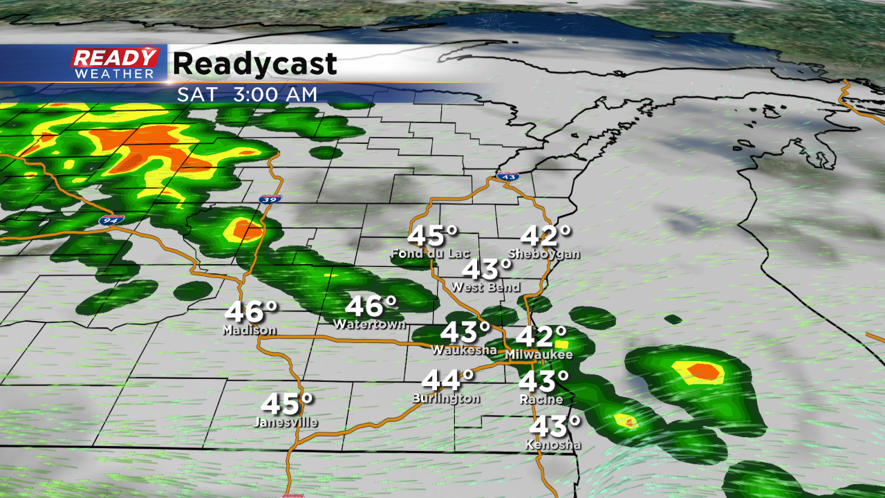
After midnight a line of elevated showers and storms will move from southwest to northeast. These elevated storms could contain some small hail as they move through along with locally heavy rainfall.
There will likely be a break Saturday morning before more storms arrive by the afternoon and evening. There will likely be a very wide temperature spread on Saturday with highs ranging from the 50s north to near 80 southwest. If the warm front can move in and the winds can turn southerly, it could get very warm and humid fast.
