Isolated rain chance Sunday during a last round of summer warmth and humidity


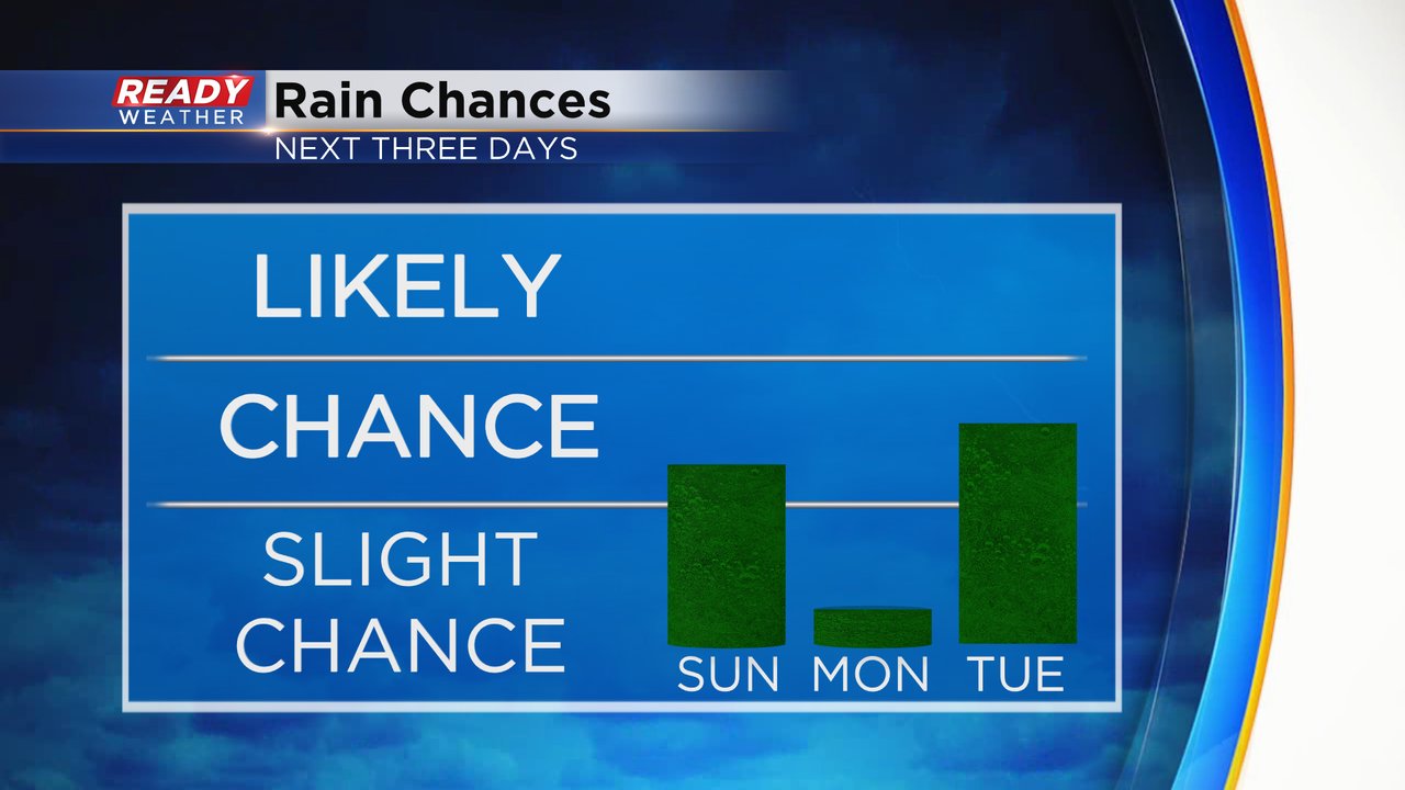
Just like Saturday we once again have an isolated chance for a shower or storm on Sunday. Most of the rain chances have decreased but a few communities woke up to rain early Sunday and a few more could see some showers. The best timing for any rain that does develop looks before 10 AM and then again between 3-8 PM. The majority of southeast Wisconsin will probably stay dry.

After Sunday's isolated rain chance Monday is pretty dry with only a chance if we have a lingering morning show which is very unlikely. Tuesday is our best chance this week to see at least some rain but there's still some good uncertainty there.
These next few days may be our last round of summer-like warmth and humidity. Highs the next four days will stay close to or above 80 when the average high is 73*. A round of cooler air with highs in the 60s and lows in the 50s pushes in right on time for the fall equinox.

It's also going to be quite humid to start this week, especially Sunday and Tuesday with dew points in the tropical category at times.
Download the CBS 58 Ready Weather app to track any isolated rain that does develop.