Few showers possible tonight into Friday along/south of I-94
After a welcomed day of sunshine on Wednesday, clouds are filtering back into southeast Wisconsin today as a low pressure system slowly passes by to our south.
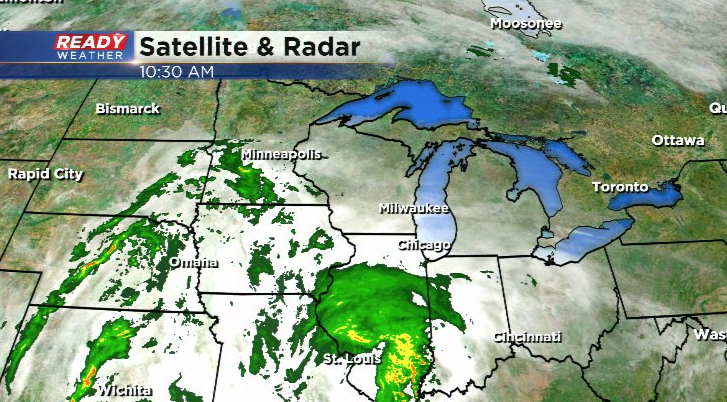
The lingering dry air from yesterday's high pressure system will keep southeast Wisconsin dry for today with some filtered sun at times, but a few showers may sneak over the WI/IL border tonight into Friday.
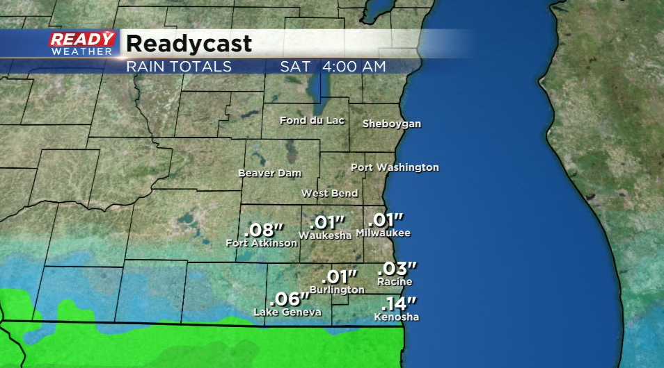
Folks north of I-94 likely won't see much, if any, rain from this system. Areas near the WI/IL border may pick up .10" or so of rain.
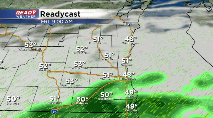
Showers exit the area by late afternoon on Friday with decreasing clouds heading into the start of the weekend. Unfortunately for folks who live by the lake, we'll continue to have onshore wind throughout the weekend, so temperatures will be warmer inland through Mother's Day.
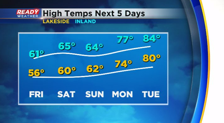
That being said, temperatures will still be on a warming trend into next week! After temps rise in the low to mid 60s this weekend, 70s and possibly evening some low 80s roll in through the first half of next week! Download the CBS 58 Ready Weather App to see if any storms will accompany the incoming warmth.
