Biggest cool down of the season arrives after rain and storms
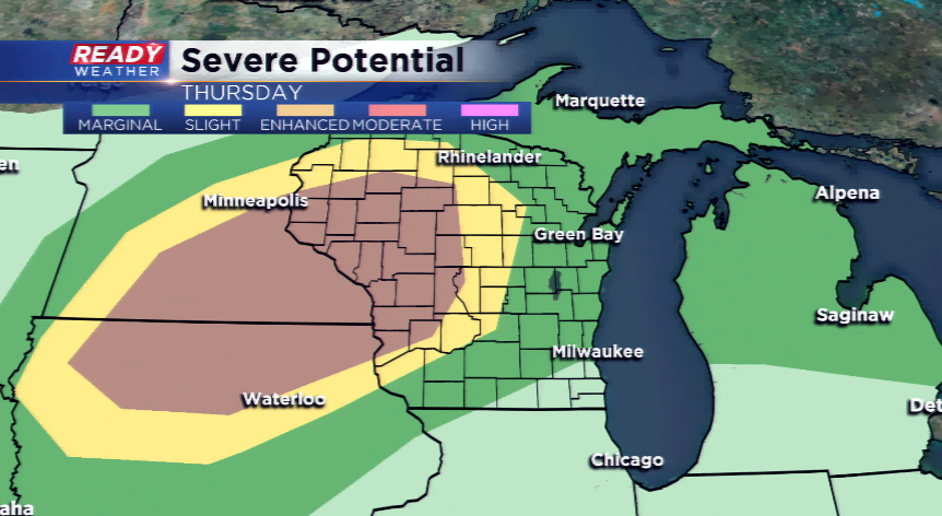
Rain and storms will be the theme on your Thursday, likely in two rounds. The first round will drive out by late this morning as a warm front lifts northward. This will allow for clearing and warming to take place later this afternoon. Highs could climb well into the 80s with a strong south wind. The last round of storms will be triggered by a cold front – this best dynamics for severe weather will be west as the cold front passes during peak heating. All modes of severe weather are possible in the “enhanced” region across the central and western part of Wisconsin. The storms all around the state will die by Friday morning.
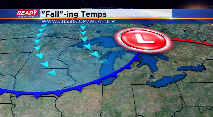
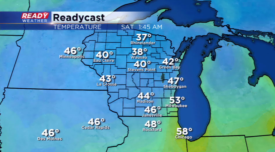
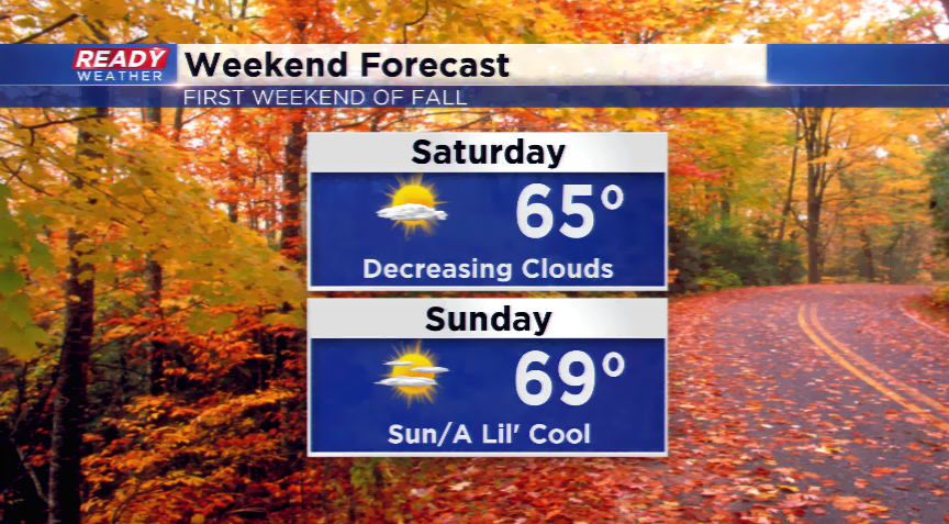
All the attention will be turned to this big cool down by tomorrow and this weekend. It will be the first true taste of fall in the Badger State. Expect highs to fall into the 60s. Overnight lows could fall near freezing in northern Wisconsin, while southern Wisconsin will see their first 40 degree lows. This will last until next week with low 70s returning.