3:30 AM Severe Weather Update
Update Wednesday 3:30am...
The storms are mainly behind us. Now we have to focus on very gusty winds today. In fact a high wind warning is in place from 7am to 8pm for the entire viewing area. Winds more than 50 mph are possible. Make sure to keep a tight grip to the steering wheel and tie down anything loose outside, such as patio furniture or trash cans. We run the risk of rain showers as well, especially into the afternoon.
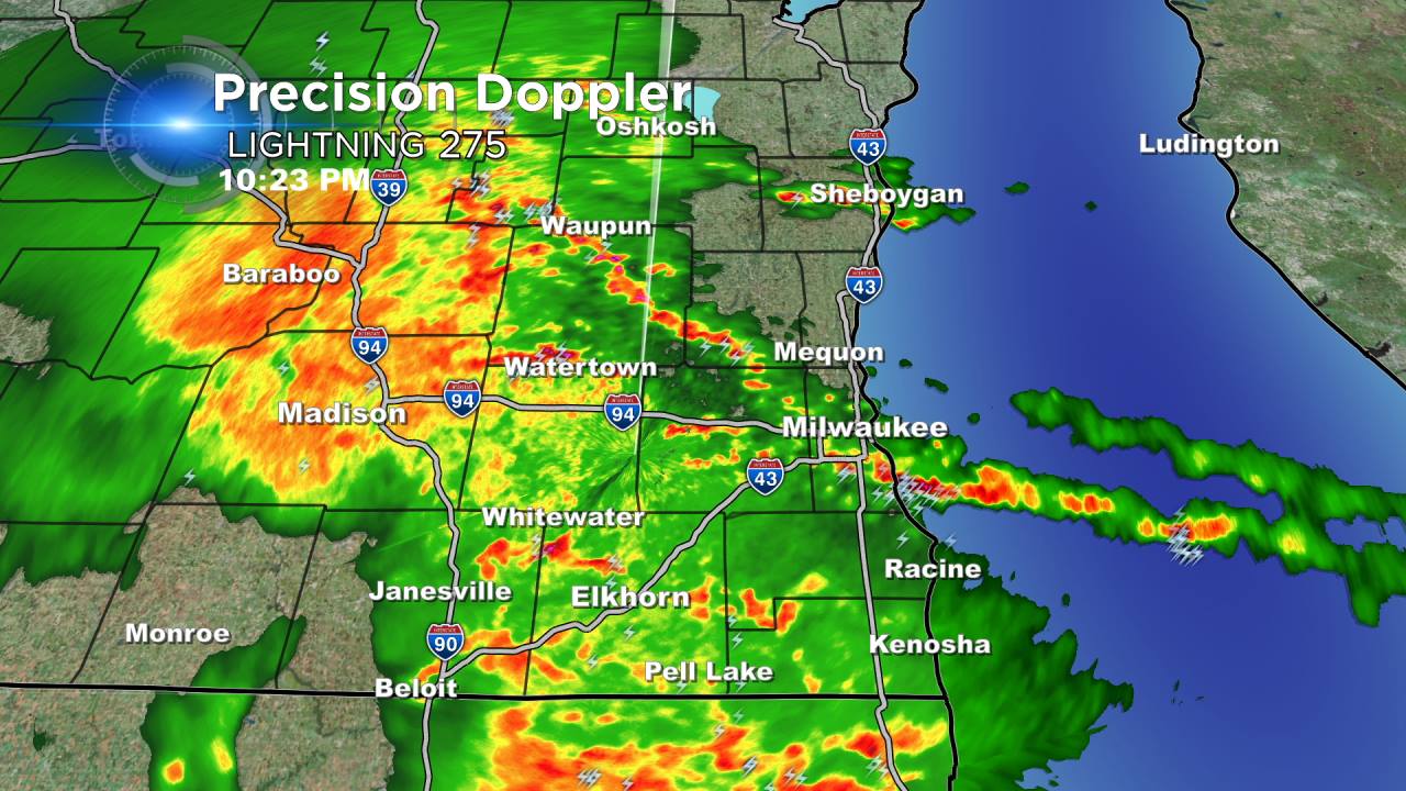
The strongest showers and storms will move through until Midnight. Plenty of lightning and thunder along with pea size hail can be expected. Storms moving out of northern Illinois are weakening as they move over the warm front; however, they could push some hail across Walworth, Kenosha, and Racine counties. We have no watches for southeastern Wisconsin tonight!
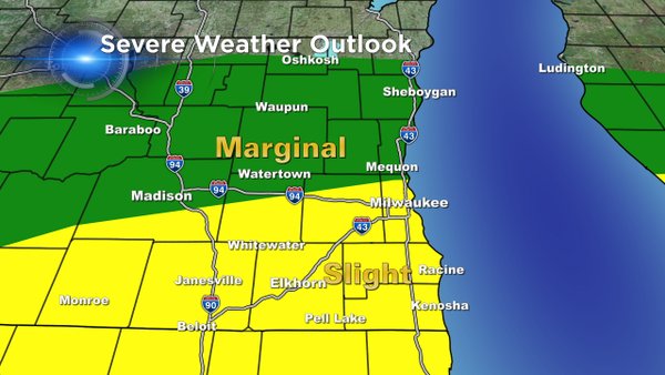
The slight risk for severe weather remains across the Milwaukee metro area, so even though we aren't under the watch, an isolated strong to severe storm will remain possible.
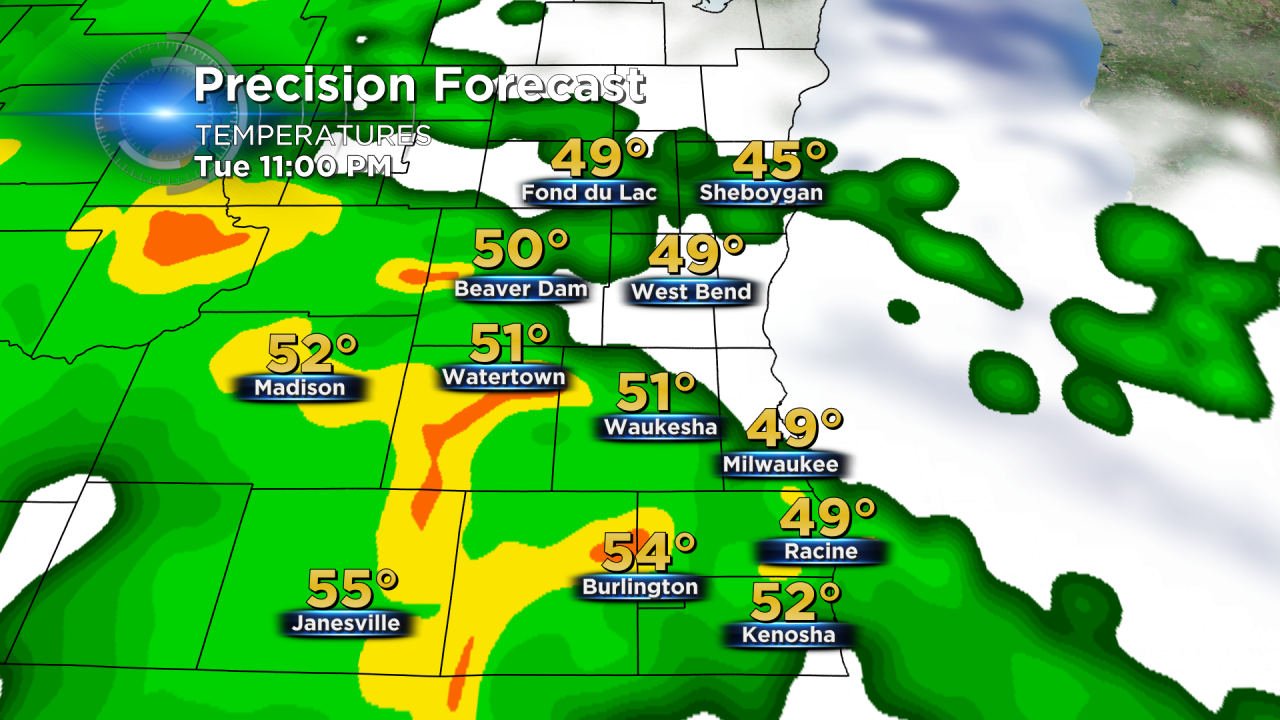
Thankfully the tornado threat will stay to our south tonight. Scattered showers will persist into the morning, but the wind gusts tomorrow could exceed 50 mph. A high wind watch is in effect for Milwaukee.
Please know the entire CBS58 weather team will keep you updated on this pending weather situation. In the meantime, you can download the free CBS58 weather app when you're away from your home or computer. On a day like Tuesday, it's really nice to have the radar at your disposal. You can also weather weather alerts when they are issued.
