Warm and muggy conditions will lead to strong storms today....Afternoon Update
By: CBS58 Staff
Posted: Jul 26, 2017 3:33 AM CDT
-
2:03
’I’m still with you’: Wauwatosa 911 dispatcher helps woman...
-
2:23
What could a ban on noncompete agreements mean for Wisconsin...
-
2:08
Milwaukee Diaper Mission highlights helpers during National Volunteer...
-
19:35
Groundbreaking starts for multimillion-dollar renovations at...
-
1:39
Bond set at $100K for Campbellsport man charged with bestiality
-
0:25
Waukesha parade memorial groundbreaking date set for May 8 at...
-
1:05
Spring frost
-
4:04
Celebrating America’s top emerging sport during National Pickleball...
-
3:55
Local financial advisor talks tips on protecting against identity...
-
2:03
Widespread freeze expected Thursday morning
-
3:18
MIAD’s 50th anniversary paints the perfect backdrop for its...
-
2:03
MPS considers booting 2 charter schools out of district buildings
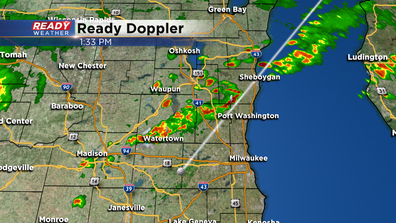
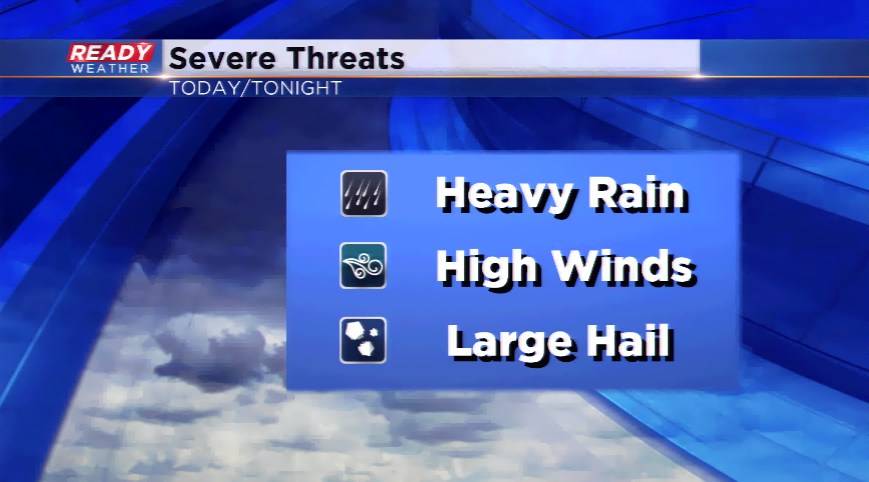
UPDATE: No changes to the forecast. Scattered showers and storms continue to develop ahead of a cold front this afternoon. Small hail and gusty winds remain possible.
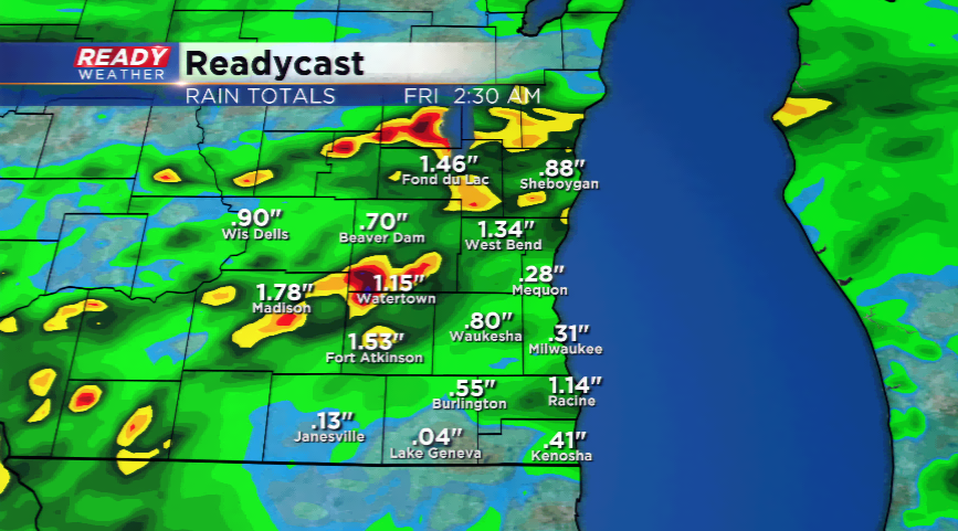
A cold front will power through the state the next 24 hours kicking up showers and
thunderstorms. Ahead of the front, warm and muggy air will stream in. Highs will jump into the mid-80s with dew points into the 60s and 70s. These ingredients will help fuel the thunderstorms later this afternoon and evening.The Storm Prediction Center has parts of our western counties
in the *slight risk* category for severe storms while the rest of the area is under a *marginal risk*. Strong winds, one inch hail, and heavy downpours will be the main risks. The best chances for storms will be this evening and early tonight. A few storms could linger through Thursday morning.
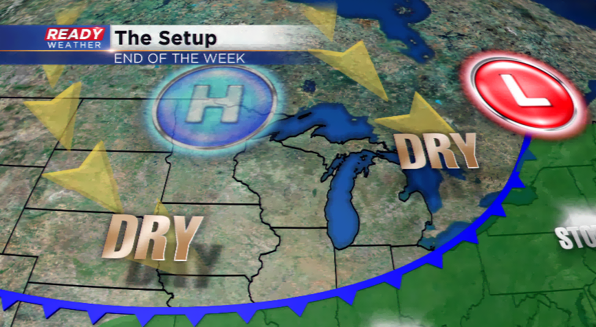
Week’s end will feature much drier conditions and sunshine developing into the weekend. Highs will hover in the 70s to around 80. It might be one of t
he nicest weekends all summer!
Sign up for the CBS 58 Newsletter