Two chances for snow over the next 48 hours
The winter pattern remains active as we approach the weekend. Today was snowy for parts of the area thanks to a system moving along the east coast. A very narrow band of snow impacted portions of Racine and Kenosha counties. That band should be out of those areas by 6 pm.
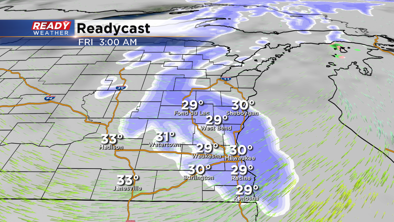
Late tonight a weak disturbance will brush Wisconsin with some light snow. Most of the snow will fall while we are asleep; moreover, it shouldn't impact the Friday morning commute. Les than 0.5" is expected tonight.
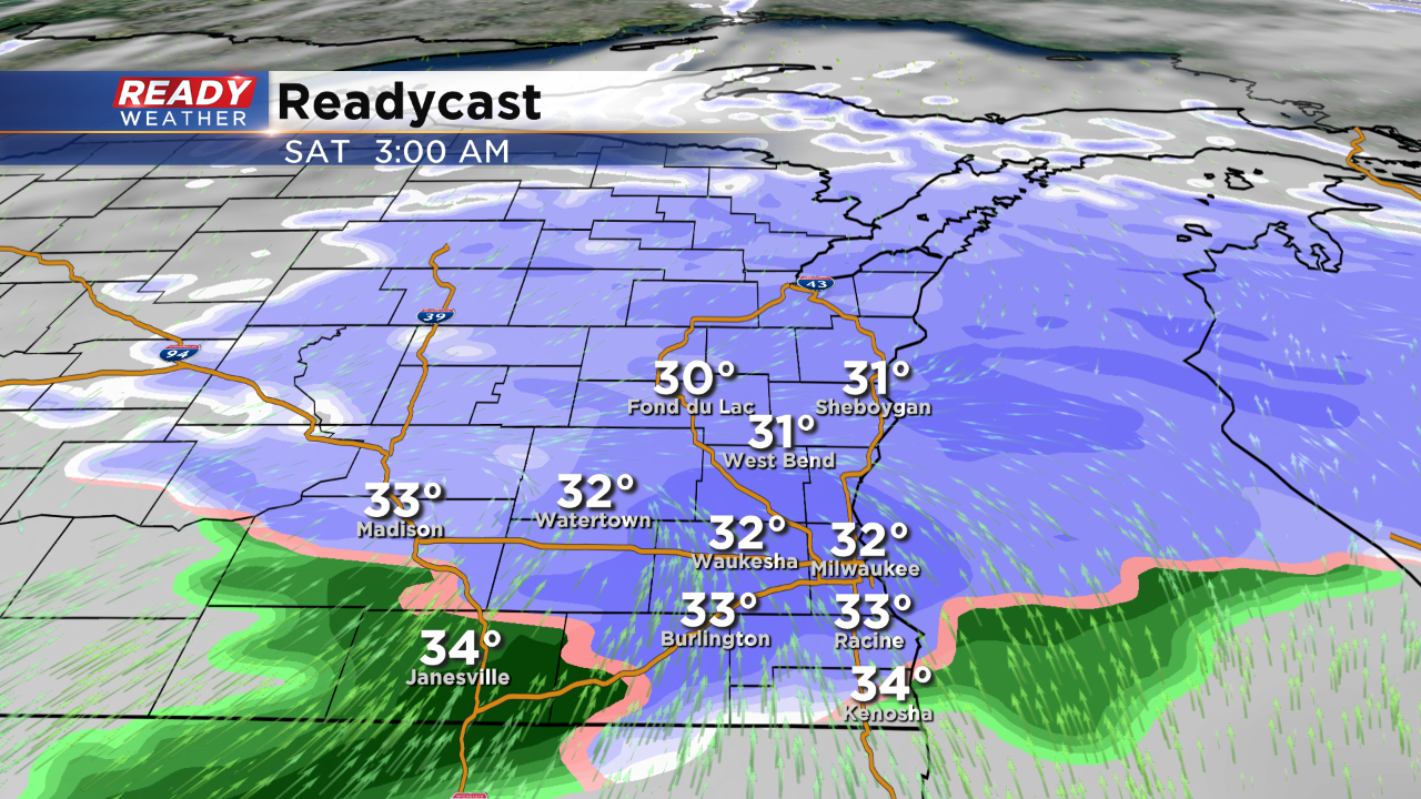
A stronger system arrives late Friday night into Saturday morning. This system has the potential to drop several inches of snow going into Saturday. A swath of 1" to 3" of snow is likely. Thankfully with surface temperatures in the upper 20s, a lot of this will accumulate on the grass. There could be some slick roads going into Saturday morning. The models clear out the snow for Saturday afternoon.
