


The clouds have filled back into the area as a system passes us to the south and a cold front approaches from the north. This front has been generating a few snow showers back in parts of NW Wisconsin.
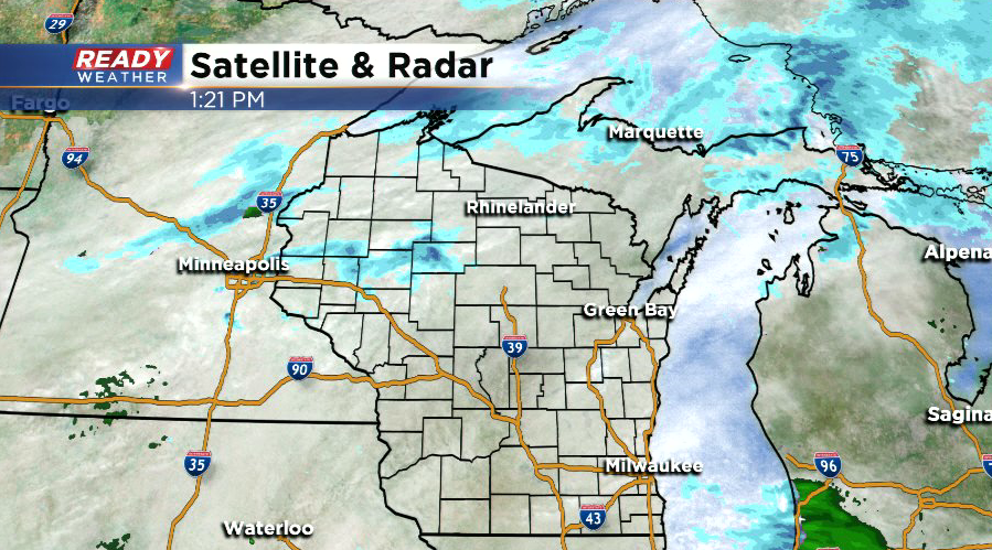
As this front gets closer, a stray sprinkle or flurry will be possible until the front clears the area overnight.
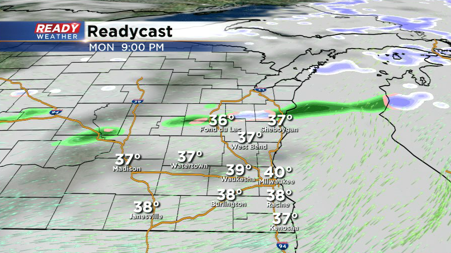
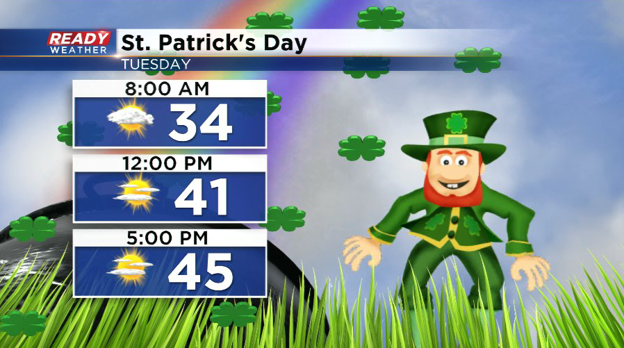
Behind the front, we'll clear out and enjoy some sunshine on St. Patrick's Day, but it'll be short lived as clouds will already move back in Tuesday night ahead of our next system.
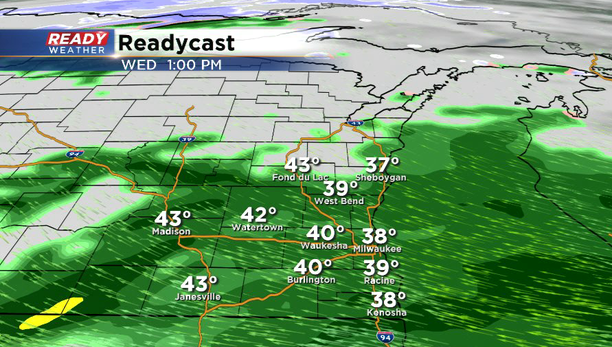
This next system will bring some rain and wet snowflakes into SE Wisconsin Wednesday morning.
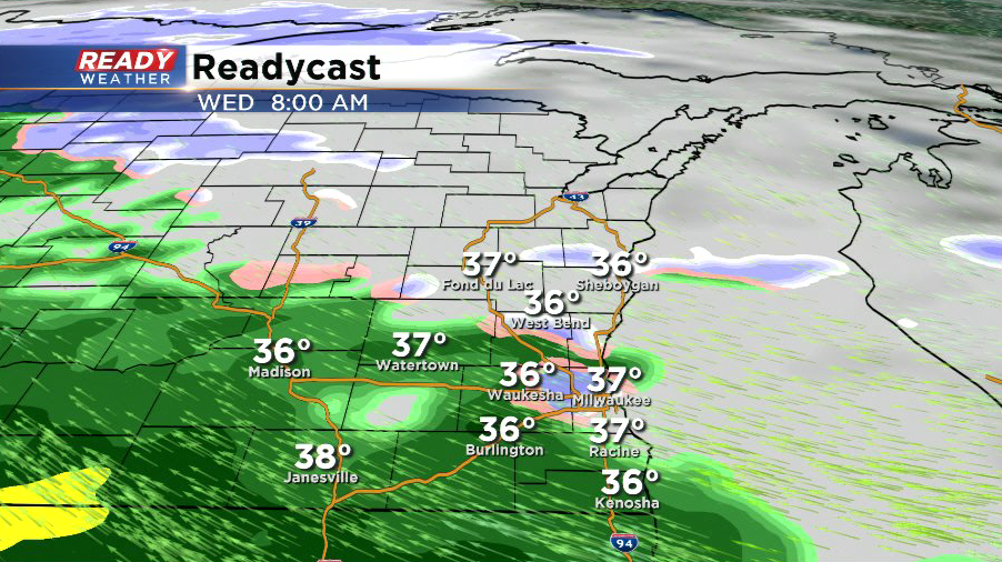
Any snow will change over to all rain through the course of Wednesday morning, tapering off Wednesday evening. Little to no accumulation is expected, and if any snow does accumulate it will quickly melt throughout the day as temps rise into the 40s.
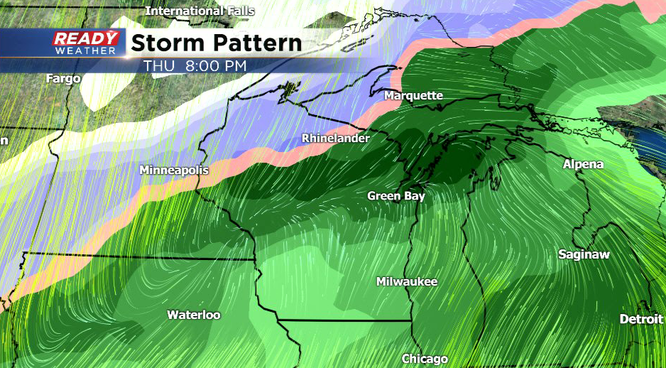
After a break in the rain Wednesday night and Thursday morning, another low pressure system will track through the state and bring rain back into the area by Thursday afternoon. A few rumbles of thunder are even possible Thursday night.
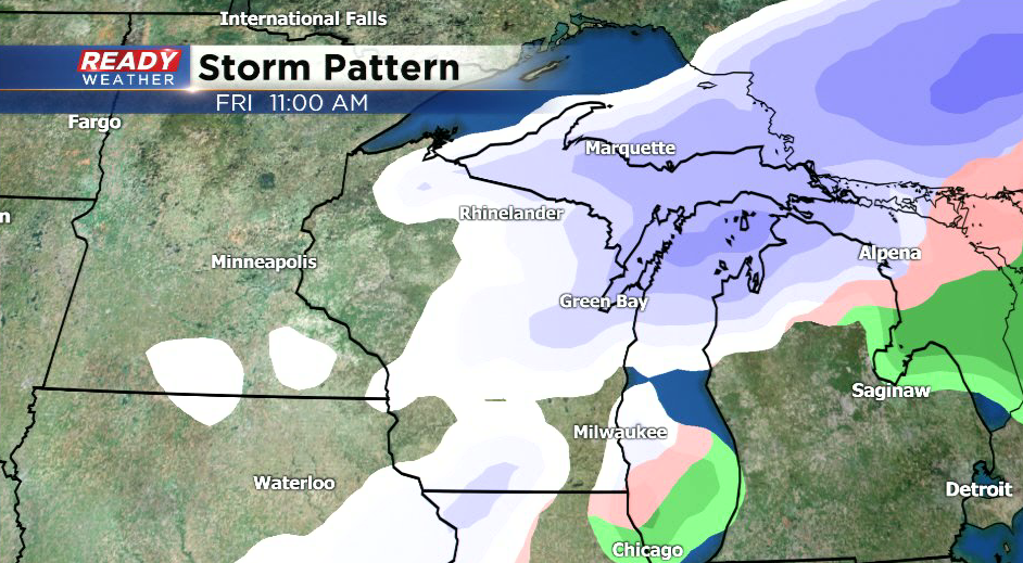
The expected track of this system will keep the heavy accumulating snow well to our northwest, but as the cold front moves through early Friday morning we could see the rain briefly change to snow before ending. Still, little to no accumulation is expected.
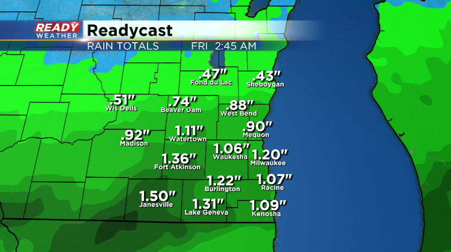
Rain totals around .75"-1.25" will be common from Wednesday through Friday, which could cause some minor flooding.
Download the CBS 58 Ready Weather App for updates.