Sunday PM Update: Rain switching to snow with light accumulation expected
Updated: 3:04 p.m. December 2, 2018
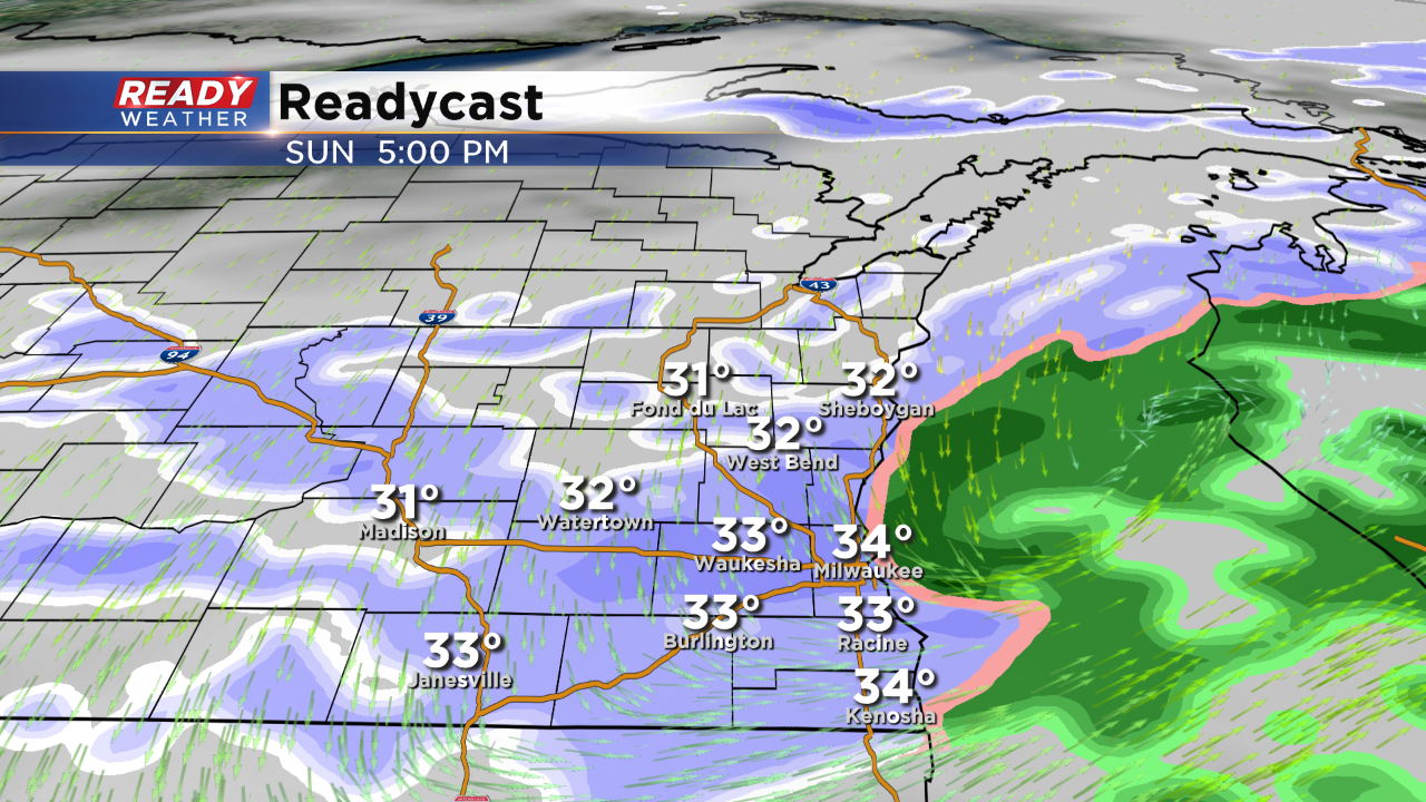
Rain is starting to switch to snow from west to eat across southeast Wisconsin. Expect the transition to all snow to be complete by 5 p.m. thanks to cooling temperatures.
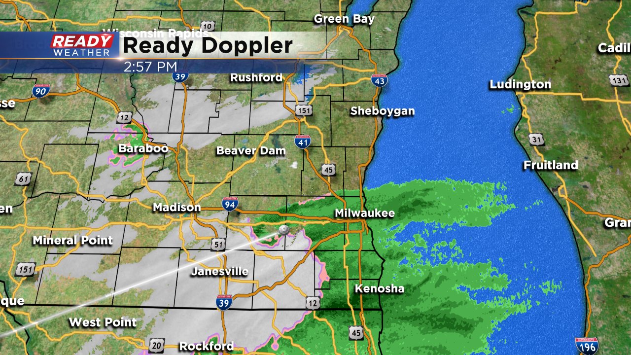
Snow totals are still on track with around to less than 1" for most of southeast Wisconsin by early Monday morning.
------
Updated: 8:00 a.m. December 2, 2018
The forecast remains on track for Sunday. Rain showers have returned to our southern communities where fog is thick. A dense fog advisory is in effect for Walworth, Racine and Kenosha Counties until 9 a.m. The reason for the fog is a combination of excess moisture from the rain and warmer air moving over a surface covered with snow thanks to temperatures around 40 degrees.
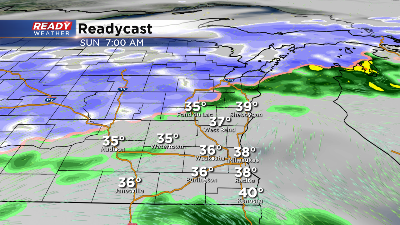
Temperatures will stay steady Sunday morning before slowly falling Sunday afternoon. That drop in temperatures will allow rain showers to switch to snow showers for all during the afternoon.
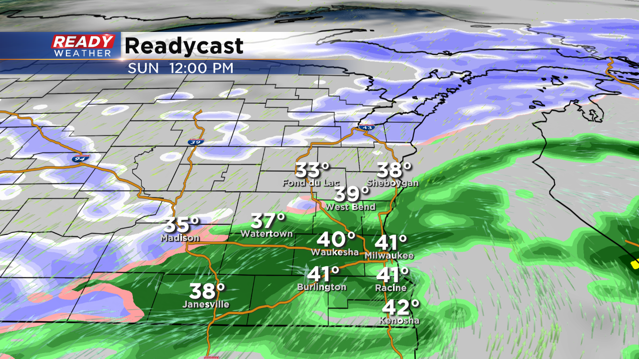
Expect rain showers to continue until around noon with a switchover to rain happening from northwest to southeast during the afternoon. All will see snow by 5 p.m.
Thanks to mainly wet roads, snow totals will stay low for most with under one inch expected. Totals may be bit higher, up to 2", in northwest communities like Fond du Lac and Beaver Dam.
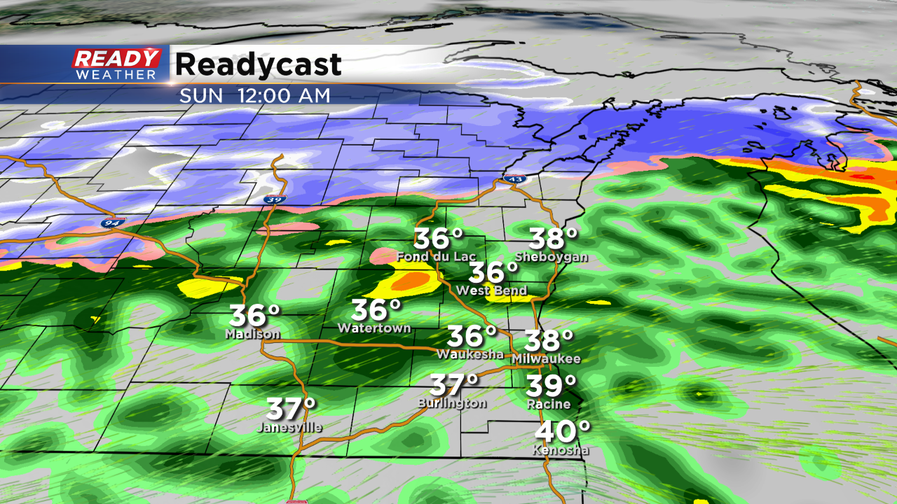
Snow showers will start to come to an end in western spots around midnight and finally ending in the Milwaukee area around daybreak. Monday's morning commute should stay mainly wet, but a few slick spots are possible.
------
Posted: 3:30 p.m. December 1, 2018
Most of the day has been very raw with plenty of wind and rain across the area. Rainfall totals could get to around an inch in some spots by tomorrow afternoon. Rain will continue this evening with even a few rumbles of thunder thanks to some elevated instability.
Grab the umbrella Sunday morning with some showers and drizzle. Our area should be warm enough to support just rain. That will change by the afternoon.
By the early afternoon snow showers will start to rotate through the northwest part of our area.
Rain will turn to all snow during the afternoon and evening. Since the switch will take longer, the overall snowfall totals will be reduced. Most areas will see a half an inch to an inch total. Our northwestern areas will have the best chance for 1" to 2" of snow! This event should stay below winter advisory criteria.
A few lingering snow showers will continue into Monday morning before moving completely out. The snow should have minimal impact on the morning commute.
