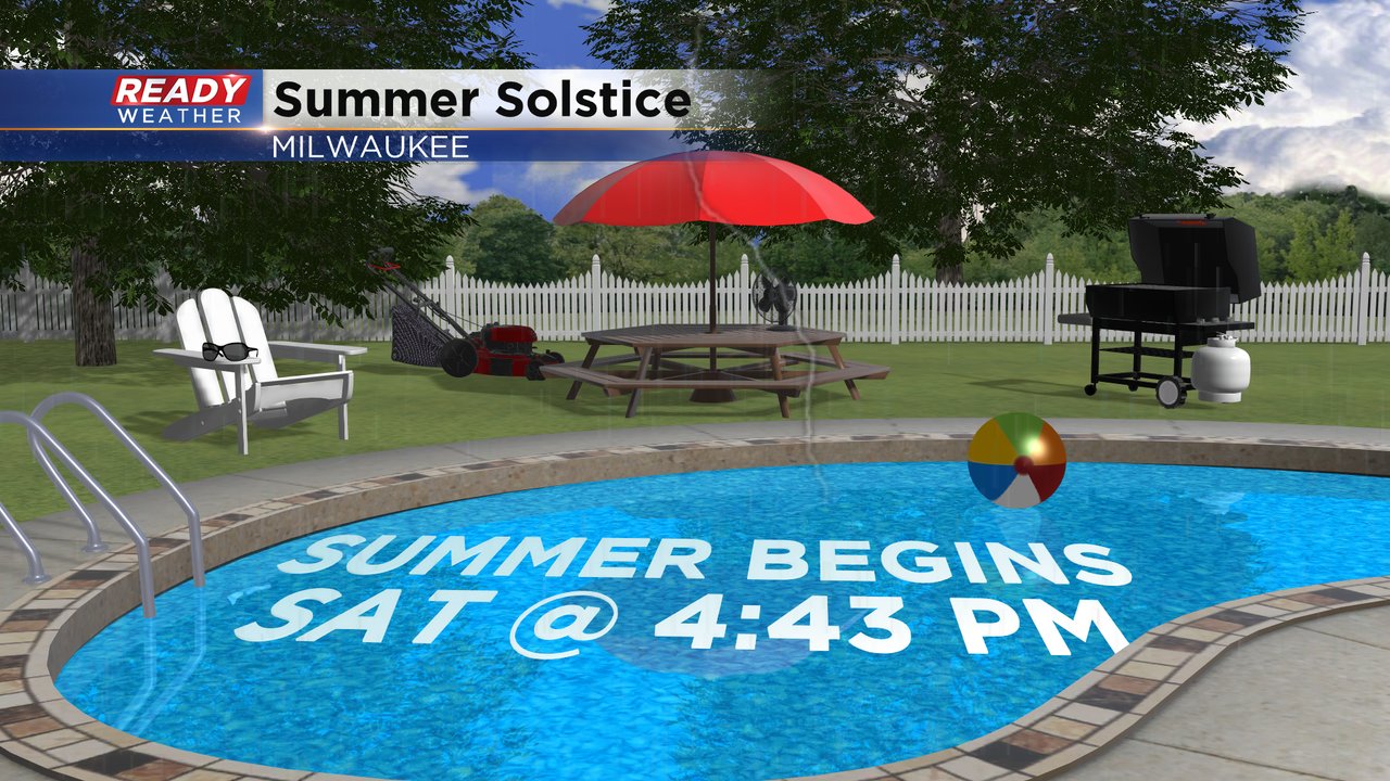
Today is officially the last full day of Spring. Tomorrow Summer begins!
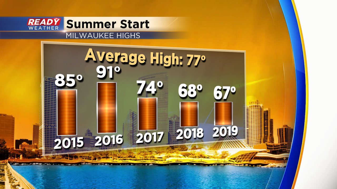
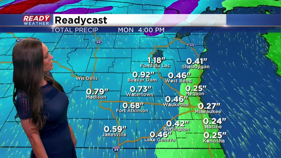
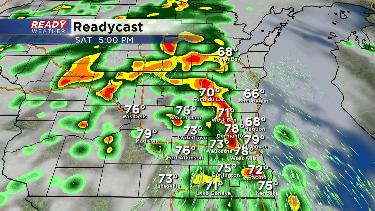
And it's looking warm with highs expected in the 80s once again. It would be the first time since 2016 Summer kicked off warmer than normal. It's also looking to possibly be one of the wetter ones as a slow moving frontal boundary tracks east across the state. Additionally, an evolving low pushing out of Iowa will roll in to provide a bit more instability. So some of the stronger cells could come with gusty wind, possibly small hail. The slow movement of the front will lead to the potential for heavy rain amounts for those that get storms right overhead. We are fine tuning the forecast as the western parts of the area may find the most needed rain through this event. Here's a look at what you can expect around the dinner hour tomorrow: We need the rain at this point as the city of Milwaukee sits about an inch and three-quarters behind on the month of June.The weekend, however, will not be a total wash out. Showers should end by mid morning Sunday with the rest of the day looking dry before more rain and storms develop Monday.
I'm meteorologist Rebecca Schuld


