Strong to severe storms are expected for Thursday afternoon and evening
It's turned out to be a very active weather week with very high heat and humidity across southeastern Wisconsin. We've seen a few rounds of showers and storms with another one coming for Thursday!
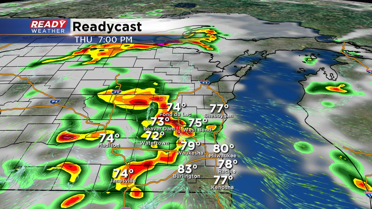
The airmass with remain the same for Thursday. Very high dewpoints near 70 and surface temperatures in the upper 80s to near 90 will fuel another round of scattered showers and storms for Thursday afternoon into the evening.
The storms will eventually ignite once a disturbance moves overhead by the afternoon. Storms will likely develop between 2 pm and 4 pm and continue throughout the evening.
Storms that develop will have a chance to produce hail and damaging winds. Thankfully the wind shear is on the light side so the tornado threat is extremely low.
Thanks to the high humidity storms will also produce very quick bursts of flooding rainfall.
Storms will weaken after 10 pm and linger into Friday morning before clearing by the afternoon.
