Soaking rain from Monday wrapping up with some snowflakes possible the rest of the week
Steady rain quickly arrived early Monday afternoon and stayed for a bit. We had a few dry breaks Monday evening then some more heavy rain Monday night before wrapping up with a few light showers Tuesday morning. Rainfall totals in some locations have surpassed an inch with everyone in southeast Wisconsin getting at least a half inch.
The rest of Tuesday is going to be dry with some sunshine peeking out during the afternoon before sunset. Tuesday is also going to be our last warm day for the foreseeable future with highs reaching the upper 50s to around 60. Then the highs drop to average on Wednesday and chilly the rest of the week in the lower half of the 40s.
Expect a persistently strong wind through the weekend. The wind picked up Monday night with the rain and wind gusts reaching 40 mph. Those wind gusts will stay out of the southwest with the mild air Tuesday gusting to 35 mph. As temperatures drop to more average levels Wednesday the wind out of the west will gust to 30 mph then a northwest wind will bring in chilly air with a wind gusting to 40 mph.
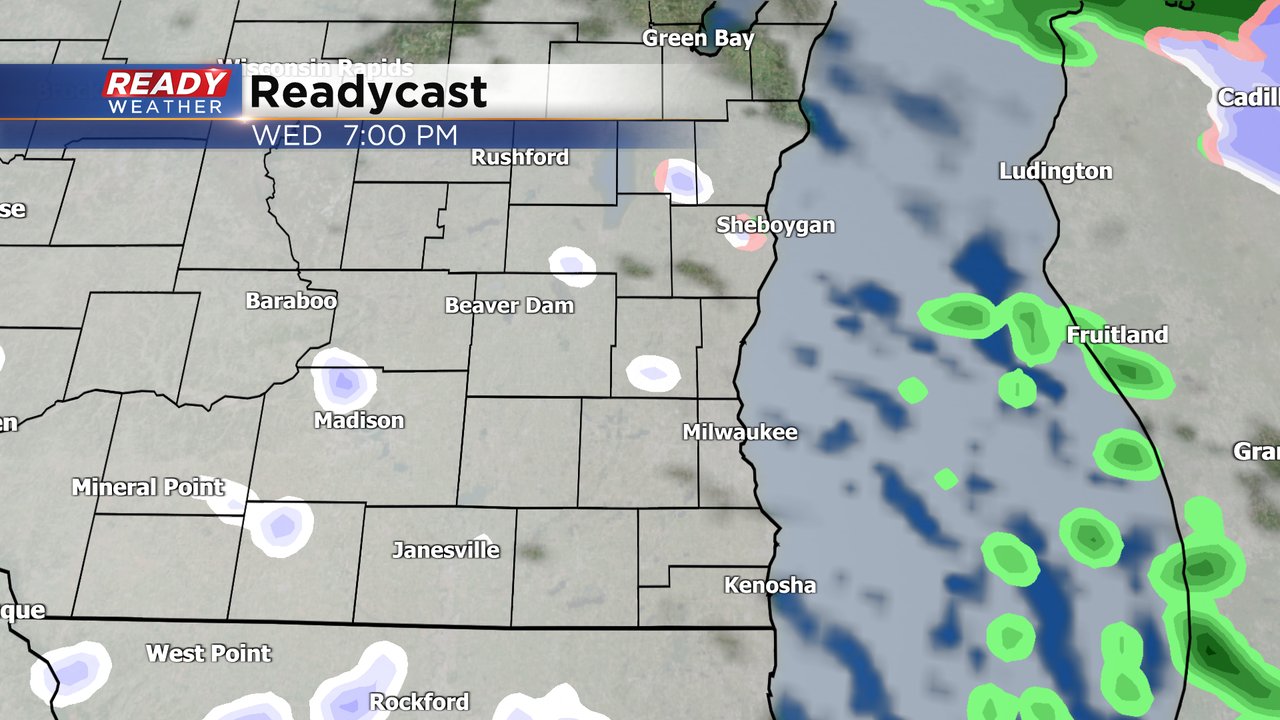
The precipitation chances don't go away over the next few days either. A few sprinkles or light rain showers are possible Wednesday morning then some flurries Wednesday evening, shown below.
A better chance for some rain and snow showers happens on Thursday. The chance for precipitation is increasing but the timing of the rain/snow is uncertain and is starting to trend later, but some snow showers switching to rain are a possibility. No road impacts to any snow we see are expected.
Download the CBS 58 Ready Weather app to track the cool down and winds along with the chances for snowflakes.


