Showers return to the forecast Tuesday, especially at night


After a dry but cooler Monday rain showers are back in the forecast. Tuesday begins an active period of weather across southern Wisconsin. Rain showers in northern Illinois are slowly moving north with scattered activity possible until the early afternoon.

We are expecting dry weather for most of the evening, so if you are planning on going to the Deer District to watch the Bucks game an umbrella won't be needed. Grab the jacket with chilly temps in the 40s.

A better chance for rain arrives after 10 p.m. tonight. A few pockets of heavier downpours and even an isolated tornado are possible. Some showers could linger into Wednesday morning.
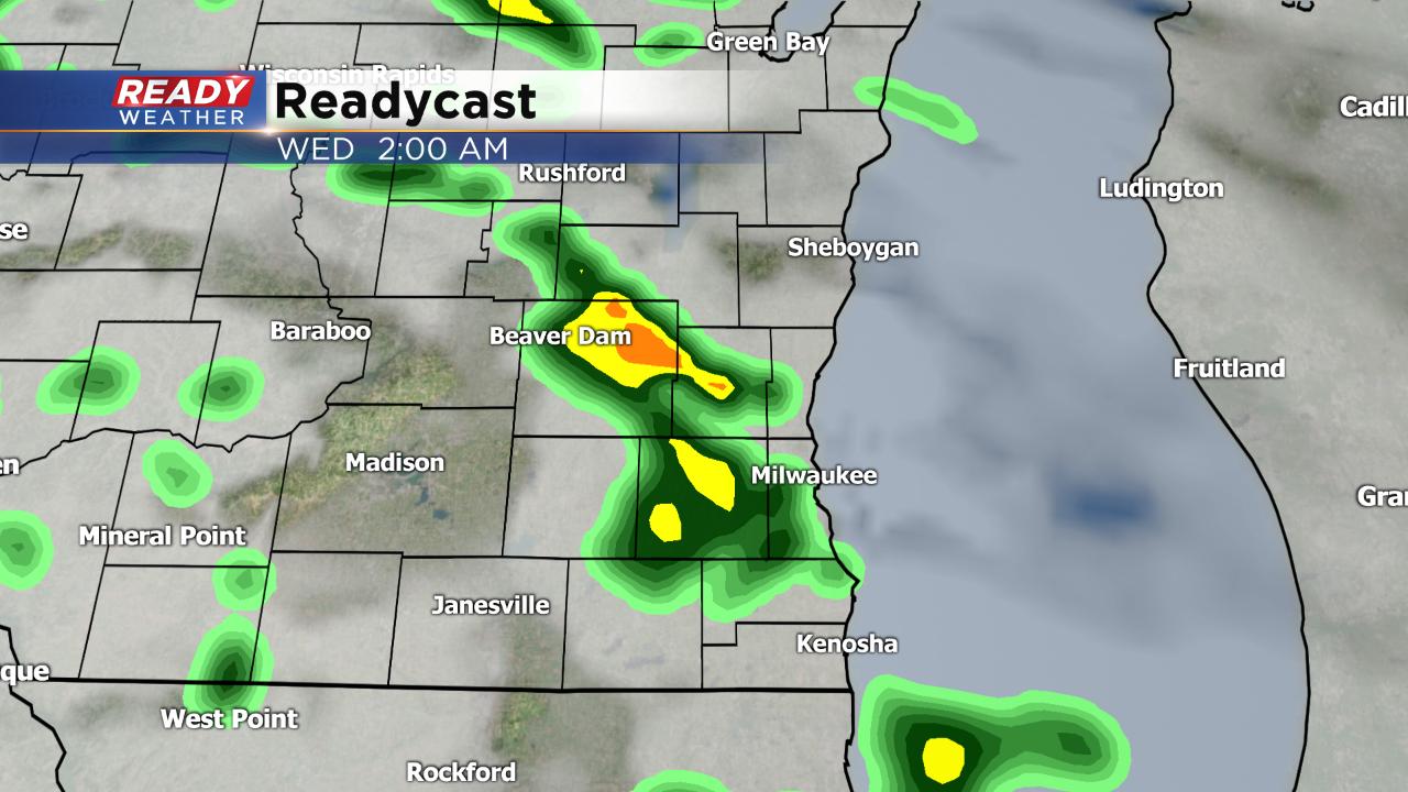
The showers during the day should remain very light, with a bit heavier rain at night. By Wednesday morning a tenth to a quarter of an inch of rain is possible for most. Isolated spots could see up to a half inch.

By mid-morning Wednesday the sun returns and stays with us until Friday! Download the CBS 58 Ready Weather App to track the showers as they develop.