Our weather pattern has been active all week long with a soaking record rain on Monday, snow and wintry mix Tuesday night and Wednesday morning and after a quiet but gloomy start to your Thursday a round of rain moves in during the afternoon and evening. The chance for rain starts late morning and continues through around midnight Friday morning but the best chance will be from late afternoon into early evening as a cold front moves across the area.
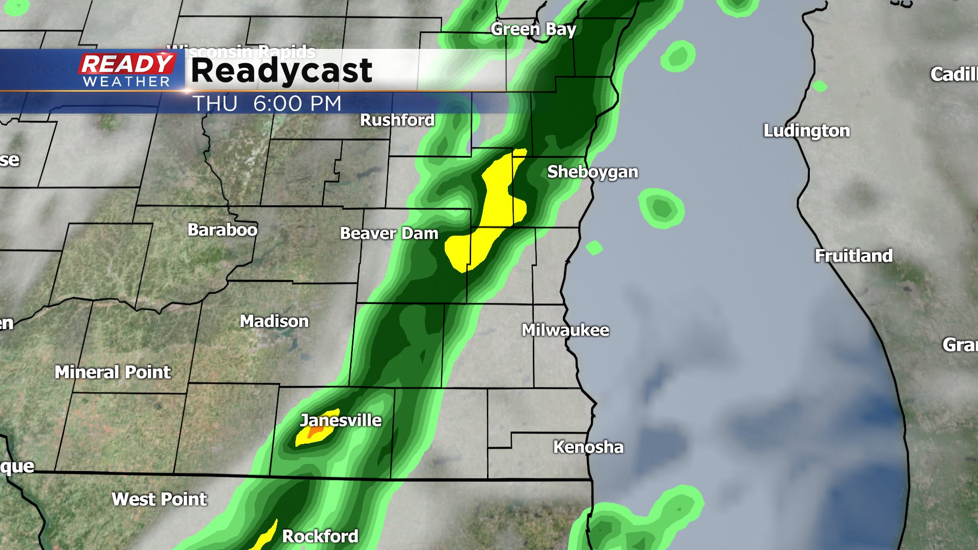
Rain totals are expected to be low - definitely not the soaking rain we had Monday. Most spots pick up around a tenth to a quarter inch of rain but as the cold front moves through some heavier downpours are possible.

Get ready for some temperature whiplash as well. Highs on Thursday will reach the middle 50s thanks to a stiff wind out of the south. That wind will then shift to the northwest after the cold front moves through dropping temps into the low 30s Friday morning. The wind will likely be strongest Thursday night and Friday morning when gusts could reach 40 mph.

Download the CBS 58 Ready Weather app to see what the peak wind gusts will be where you live and track the rain with the interactive radar.
