Midweek hiccup with the forecast as rain/snow mix expected


The forecast remains on track as rain is starting to trickle into the area. Rain will overtake the area, then just after the evening commute we expect a burst of snow which could come down heavily. Head's up for evening travel.

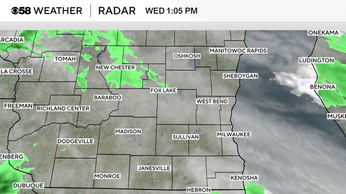
MILWAUKEE (CBS 58)--One step forward, two steps back. And so on and so forth. This is our hobble into spring. Look for a wintry mix of rain and snow to develop into Wednesday afternoon and possibly linger into early Thursday morning. A slushy accumulation is possible in spots but not expecting major amounts. Otherwise, the forecast looks okay. We start to dry out on Thursday and eventually warmup. Look for temperatures in the 60s by Sunday, the first full day of Passover and Palm Sunday. But a series of fronts will create another dent in the temperatures by next Tuesday with highs slipping back into the 50s.


