Latest winter storm is history but still plenty of wintry weather in this forecast

-
0:44

Local kids meet special visitor at early Easter egg hunt hosted...
-
0:54

Southeast Wisconsin ravaged by barrage of fires
-
0:36

Benson Boone coming to Fiserv Forum this summer
-
2:13

Indian Summer festival to return in Waukesha
-
5:33

Racine Theatre Guild’s 2026-2027 89th Season
-
4:33

Reviews of ’Ready or Not 2: Here I Come’ and ’Mike & Nick...
-
9:55

Meet the Owner of Stitched Quilt Shop in Downtown Racine
-
1:25

Kohl Park Hiking Trail
-
4:04

RAM PEEPS® Brand Art Exhibition 2026
-
3:52

Addison Elementary fifth grader leads a lesson in wheelchair...
-
4:09

One place, endless discoveries: Inside Discovery World’s unique...
-
3:50

Greendale alum Jane Kaczmarek reboots ’Malcolm in the Middle’...

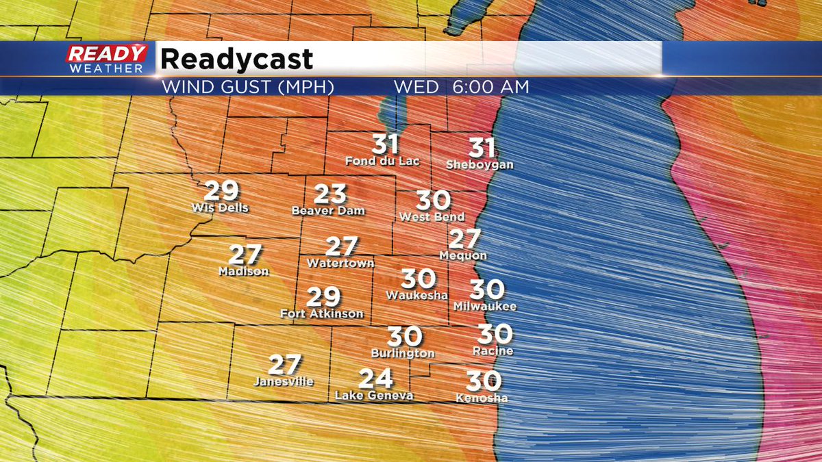
Milwaukee (CBS 58)--After record snowfall in Milwaukee of more than 8 inches Tuesday, we get a little break today. Although blowing and drifting will be a concern with the gusty west winds into the afternoon, especially on rural roads in outlying areas. Highs staying in the 20s, but the wind will make it feel more like the single digits and teens.
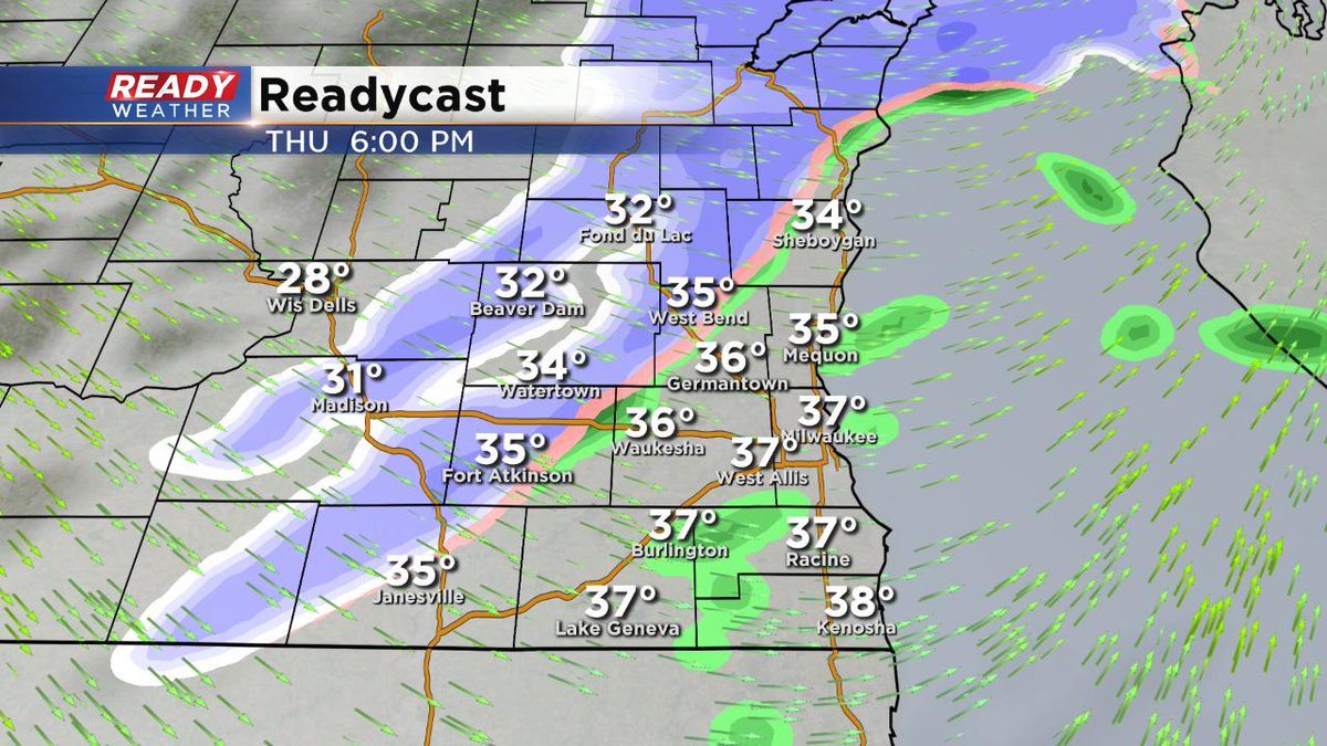
On Valentine's Day, we get a nice warmup with highs near 40. But it doesn't last long. Another front will move through into Thursday night. This will change and light rain into snow again. Nothing major but watch the roads.
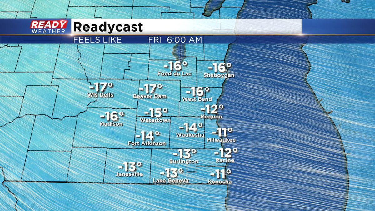
Temperatures for highs will stay in the 20s starting Friday and going into much of next week.
We do have another snow chance on Sunday. Stay tuned for more on this event.